
فائل:Map of Ohio highlighting Montgomery County.svg

Size of this PNG preview of this SVG file: ۵۵۱ × ۵۹۹ پکسلز. دوجے ریزولوشنز: ۲۲۱ × ۲۴۰ پکسلز | ۴۴۲ × ۴۸۰ پکسلز | ۷۰۶ × ۷۶۸ پکسلز | ۹۴۲ × ۱,۰۲۴ پکسلز | ۱,۸۸۴ × ۲,۰۴۸ پکسلز | ۳,۶۷۵ × ۳,۹۹۵ پکسلز ۔
اصل فائل (ایس وی جی فائل، پکسل:۳,۶۷۵ × ۳,۹۹۵، فائل سائز: ۵۸ کلوبائٹ)
خلاصہ
| تفصیل |
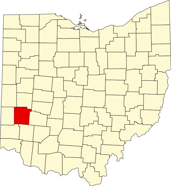
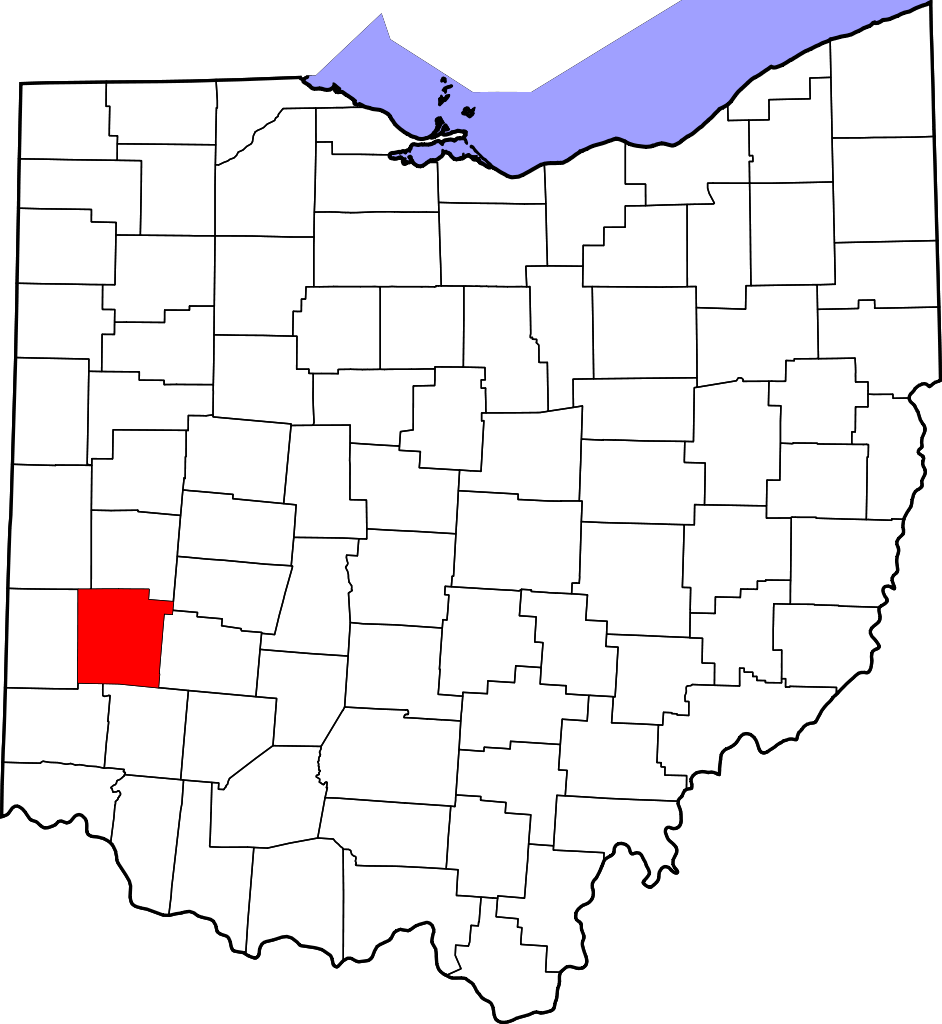
English: This is a locator map showing Montgomery County in Ohio. For more information, see Commons:United States county locator maps. |
| تریخ | |
| سروت |
آپݨا کم: English: The maps use data from nationalatlas.gov, specifically countyp020.tar.gz on the Raw Data Download page. The maps also use state outline data from statesp020.tar.gz. The Florida maps use hydrogm020.tar.gz to display Lake Okeechobee. |
| لکھاری | David Benbennick |
لائسنس –
| میں، اس کم دے کاپیرائٹ دا مالک، اس کم نوں لوکاں واسطے دیندا واں۔ اے سارے جگ واسطے لاگو اے۔ کج ملکاں چ قانونی طور تے اے ممکن نئیں اے؛ اگر انج ای اے ے: میں ہر کسے نوں اس کم نوں کسے وی مقصد واسطے ورتن دا بغیر کسے شرط دے حق دیندا واں، اگر اوہ قانون دے خلاف نا ہوۓ۔ |
فائل دی تریخ
فائل نو اس ویلے دی حالت وچ ویکھن واسطے تاریخ/ویلے تے کلک کرو۔
| تریخ تے ویلہ | نکی مورت | پاسے | ورتن والا | تیپّݨی کرو | |
|---|---|---|---|---|---|
| موجودہ | ۲۱:۱۰, ۱۲ فروری ۲۰۰۶ | | ۳,۶۷۵ × ۳,۹۹۵ (۵۸ کلوبائٹ) | David Benbennick | {{subst:User:Dbenbenn/clm|county=Montgomery County|state=Ohio|type=county}} |
فائل دی ورتوں
تھلے دتے گئے 1 صفحے اس فائل نال جُڑدے نیں
فائل ویاپک ورتوں
ایہہ دوجے وکیاں ایس فائل نوں ورتدے نیں –
- ar.wikipedia.org تے ورتوں
- azb.wikipedia.org تے ورتوں
- bg.wikipedia.org تے ورتوں
- bpy.wikipedia.org تے ورتوں
- ca.wikipedia.org تے ورتوں
- Brookville (Ohio)
- Carlisle (Ohio)
- Clayton (Ohio)
- Englewood (Ohio)
- Farmersville (Ohio)
- Fort McKinley
- Germantown (Ohio)
- Huber Heights
- Kettering (Ohio)
- Miamisburg
- Moraine
- New Lebanon (Ohio)
- Oakwood (Comtat de Montgomery)
- Phillipsburg (Ohio)
- Riverside (Ohio)
- Shiloh (Comtat de Montgomery)
- Springboro
- Union (Ohio)
- Verona (Ohio)
- Woodbourne-Hyde Park
- Plantilla:Comtat de Montgomery (Ohio)
- cdo.wikipedia.org تے ورتوں
- ceb.wikipedia.org تے ورتوں
- cs.wikipedia.org تے ورتوں
- cy.wikipedia.org تے ورتوں
- da.wikipedia.org تے ورتوں
- de.wikipedia.org تے ورتوں
- en.wikipedia.org تے ورتوں
- Dayton, Ohio
- Montgomery County, Ohio
- List of counties in Ohio
- Brookville, Ohio
- Centerville, Ohio
- Clayton, Ohio
- Drexel, Ohio
- Englewood, Ohio
- Farmersville, Ohio
- Fort McKinley, Ohio
- Germantown, Ohio
- Miamisburg, Ohio
- Moraine, Ohio
- New Lebanon, Ohio
- Northridge, Montgomery County, Ohio
- Oakwood, Montgomery County, Ohio
ایس فائل دا ویکھو ہور جگت ورتن .