
فائل:Uzbekistan location map.svg

اصل فائل (ایس وی جی فائل، پکسل:۲,۱۱۴ × ۱,۳۹۷، فائل سائز: ۳۰۶ کلوبائٹ)
خلاصہ
| تفصیل |
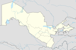
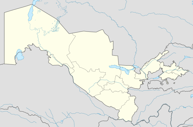
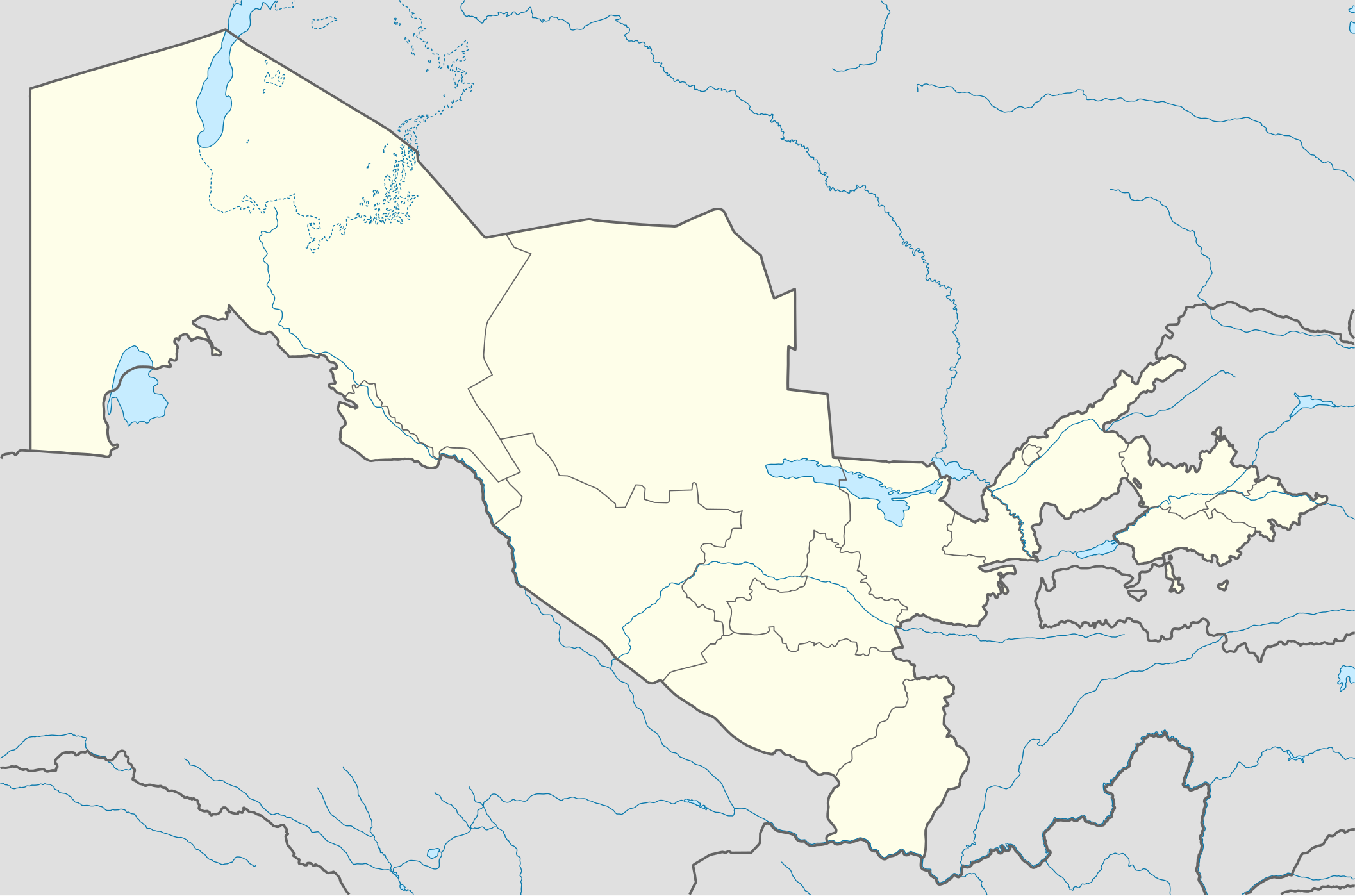
Deutsch: Positionskarte von Usbekistan
Quadratische Plattkarte, N-S-Streckung 130 %. Geographische Begrenzung der Karte:
English: Location map of Uzbekistan
Equirectangular projection, N/S stretching 130 %. Geographic limits of the map:
|
|
| تریخ | ||
| سروت |
آپݨا کم, using
|
|
| لکھاری | NordNordWest | |
| اجازت (فائل نوں دوبارہ ورتنا) |
ایس فائل نوں کریٹو کامنز Attribution 3.0 جرمنی لائسنس دتا گیا.
 ایس فائل نوں کریٹو کامنز Attribution 3.0 جرمنی لائسنس دتا گیا.
|


|
This map has been made or improved in the German Kartenwerkstatt (Map Lab). You can propose maps to improve as well.
|
فائل دی تریخ
فائل نو اس ویلے دی حالت وچ ویکھن واسطے تاریخ/ویلے تے کلک کرو۔
| تریخ تے ویلہ | نکی مورت | پاسے | ورتن والا | تیپّݨی کرو | |
|---|---|---|---|---|---|
| موجودہ | ۲۳:۴۹, ۱ اگست ۲۰۱۰ | | ۲,۱۱۴ × ۱,۳۹۷ (۳۰۶ کلوبائٹ) | NordNordWest | upd |
| ۰۰:۱۴, ۲۸ نومبر ۲۰۰۹ |  | ۲,۱۱۴ × ۱,۳۹۷ (۴۱۹ کلوبائٹ) | NordNordWest | =={{int:filedesc}}== {{Information |Description= {{de|Positionskarte von Usbekistan}} Quadratische Plattkarte, N-S-Streckung 130 %. Geographische Begrenzung der Karte: * N: 45.9° N * S: 36.8° N * W: 55.6° O * O: 73.5° O {{en|Locatio |
فائل دی ورتوں
تھلے دتے گئے 1 صفحے اس فائل نال جُڑدے نیں
فائل ویاپک ورتوں
ایہہ دوجے وکیاں ایس فائل نوں ورتدے نیں –
- als.wikipedia.org تے ورتوں
- an.wikipedia.org تے ورتوں
- ar.wikipedia.org تے ورتوں
- azb.wikipedia.org تے ورتوں
- az.wikipedia.org تے ورتوں
- Daşkənd
- Səmərqənd
- Buxara
- Fərqanə
- Nukus
- Bibixanım məscidi
- Şablon:Yer xəritəsi Özbəkistan
- Əfrasiyab (qədim şəhər)
- Xivə
- Kokand
- Əndican
- Termez
- Paykənd
- Mərğilan
- Registan meydanı (Səmərqənd)
- Axsikənd
- Baysun
- Əngren
- Paltau çayı
- Çirçik çayı
- Ağbulaq (Çatkal)
- Qaraarça çayı
- Qızılsu çayı (Çirçik)
- Pskem
- Cizak (şəhər)
- Daşkənd Beynəlxalq Hava Limanı
- Nəməngan
- Xanabad (Özbəkistan)
- Mübarək (şəhər)
- Yanqıyol
- Kağan (Özbəkistan)
- Gicduvan
- Vabkənd
ایس فائل دا ویکھو ہور جگت ورتن .