
فائل:Goa locator map.svg

Size of this PNG preview of this SVG file: ۲۷۴ × ۳۳۱ پکسلز. دوجے ریزولوشنز: ۱۹۹ × ۲۴۰ پکسلز | ۳۹۷ × ۴۸۰ پکسلز | ۶۳۶ × ۷۶۸ پکسلز | ۸۴۸ × ۱,۰۲۴ پکسلز | ۱,۶۹۵ × ۲,۰۴۸ پکسلز ۔
اصل فائل (ایس وی جی فائل، پکسل:۲۷۴ × ۳۳۱، فائل سائز: ۹۳ کلوبائٹ)
| سرلیکھ |
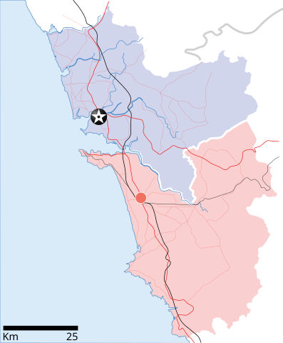
Goa locator map |
| Description |
Locator map for the state of w:Goa. Coordinates: top=15.811, bottom=14.861, left=73.567, right=74.287. |
| تریخ | |
| سروت |
آپݨا کم |
| Creator | |
| اجازت (فائل نوں دوبارہ ورتنا) |
میں، اس کم دے کاپیرائٹ دا مالک، اس کم نوں اس لائسنس دے مطابق چھاپدا واں: ایس فائل نوں کریٹو کامنز Attribution 2.5 پولینڈ لائسنس دتا گیا.
|
| Geotemporal data | |
| Date depicted | second half of 20 century تے 21 century |
| Georeferencing | If inappropriate please set warp_status = skip to hide. |
| Archival data | |
| نوٹس | Part of WikiProject India Maps |
فائل دی تریخ
فائل نو اس ویلے دی حالت وچ ویکھن واسطے تاریخ/ویلے تے کلک کرو۔
| تریخ تے ویلہ | نکی مورت | پاسے | ورتن والا | تیپّݨی کرو | |
|---|---|---|---|---|---|
| موجودہ | ۱۵:۴۸, ۲۶ اپریل ۲۰۰۷ | | ۲۷۴ × ۳۳۱ (۹۳ کلوبائٹ) | Planemad | upd |
| ۱۵:۴۰, ۲۶ اپریل ۲۰۰۷ |  | ۲۷۴ × ۳۳۱ (۸۰ کلوبائٹ) | Planemad | upd | |
| ۲۳:۲۷, ۹ اپریل ۲۰۰۷ |  | ۲۷۴ × ۳۳۱ (۶۶ کلوبائٹ) | Planemad | {{WikiProject_India_Maps |Title=Goa locator map |Description=Locator map for the state of [w:Goa]] |Source= [http://www.bombayproperty.com/goamap.jpg Map of Goa], |Date=April 2007 |Author=w:user:Planemad }} Category:WikiProject India State Maps |
فائل دی ورتوں
اس فائل نال جڑیا کوئی صفحہ نئیں۔
فائل ویاپک ورتوں
ایہہ دوجے وکیاں ایس فائل نوں ورتدے نیں –
- ar.wikipedia.org تے ورتوں
- ba.wikipedia.org تے ورتوں
- ceb.wikipedia.org تے ورتوں
- cy.wikipedia.org تے ورتوں
- de.wikipedia.org تے ورتوں
- en.wikipedia.org تے ورتوں
- Farmagudi
- Zuari River
- Pilar, Goa
- Bardez
- Sonsogor
- Flora and fauna of Goa
- Sanguem
- Mollem, Goa
- Dabolim
- Template:Goa-geo-stub
- Aquem
- Bambolim
- Bandora, Goa
- Canacona
- Karapur
- Chicalim
- Chimbel
- Colvale
- Curti, Goa
- Davorlim
- Parcem
- Penha de França, Goa
- Queula
- Sancoale
- Sanquelim
- Sanvordem
- São José de Areal
- Valpoi
- Arpora
- Altinho, Goa
- Mardol, Goa
- Gokarna Math
- Baga, Goa
- Baga Creek
- Chapora Beach
- Terekhol River
- Kasarpal
- Revora
- Pale, Goa
- Agaçaim
- Priol
- Betul, Goa
- Bogmalo
- Adas Bank
- St Inez Creek
ایس فائل دا ویکھو ہور جگت ورتن .