
فائل:MaharashtraKolhapur.png
ایس وکھالے دا ناپ: ۷۷۸ × ۶۰۰ پکسلز۔ دوجے ریزولوشنز: ۳۱۲ × ۲۴۰ پکسلز | ۶۲۳ × ۴۸۰ پکسلز | ۹۹۷ × ۷۶۸ پکسلز | ۱,۲۸۰ × ۹۸۷ پکسلز | ۲,۱۶۸ × ۱,۶۷۱ پکسلز ۔
اصل فائل (۲,۱۶۸ × ۱,۶۷۱ پکسلز, فائل حجم: ۴۲۶ کلوبائٹ, MIME type: image/png)
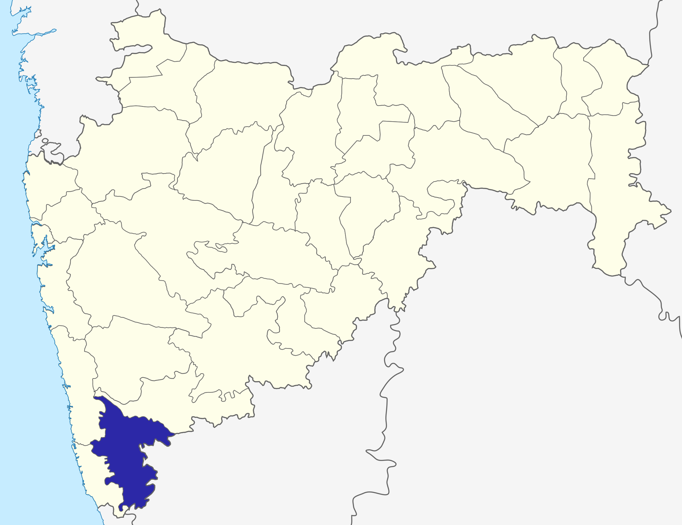
| تفصیل | Kolhapur District map in Maharashtra |
| تریخ | (UTC) |
| سروت | |
| لکھاری |
|
| This is a retouched picture, which means that it has been digitally altered from its original version. The original can be viewed here: Maharashtra locator map.svg:
|
میں، اس کم دے کاپیرائٹ دا مالک، اس کم نوں اس لائسنس دے مطابق چھاپدا واں:
ایس فائل نوں کریٹو کامنز Attribution 2.5 پولینڈ لائسنس دتا گیا.
- تہانوں کھلھ اے:
- حصہ کرنا – کاپی، ونڈنا تے کم بھیجنا
- فیر رلانا – کم نوں فٹ کرنا
- تھلے دتیاں شرطاں نال:
- کس دے ناں – تسیں لازمی ایس کم دے بناں والے بارے دسو جنج اونے آکھیا اے یا جنج لسنس چ آکھیا گیا ہے۔
- اکو جہا شئیر کرو۔ – اگر تسیں بدلدے یا ایس کم تے بناندے تے بنن والے کم نوں اینج دے لسنس نال ای ونڈو گے۔
پہلا اپلوڈ دا ریکارڈ
This image is a derivative work of the following images:
- File:Maharashtra_locator_map.svg licensed with Cc-by-sa-3.0
- 2008-12-21T12:11:22Z PlaneMad 2789x2232 (365545 Bytes) {{Information |Description= |Source= |Date= |Author= |Permission= |other_versions= }}
- 2008-12-21T12:08:04Z PlaneMad 2789x2232 (365091 Bytes) {{Information |Description={{en|1=map}} |Source=Own work by uploader |Author=[[User:PlaneMad|PlaneMad]] |Date= |Permission= |other_versions= }}
Uploaded with derivativeFX
فائل دی تریخ
فائل نو اس ویلے دی حالت وچ ویکھن واسطے تاریخ/ویلے تے کلک کرو۔
| تریخ تے ویلہ | نکی مورت | پاسے | ورتن والا | تیپّݨی کرو | |
|---|---|---|---|---|---|
| موجودہ | ۱۱:۳۳, ۶ اکتوبر ۲۰۱۵ | | ۲,۱۶۸ × ۱,۶۷۱ (۴۲۶ کلوبائٹ) | Abhijitsathe | State map updated to reflect new Palghar district |
| ۰۳:۰۳, ۲۲ ستمبر ۲۰۰۹ |  | ۲,۷۸۹ × ۲,۲۳۲ (۹۵۵ کلوبائٹ) | Abhijitsathe | India map inset | |
| ۲۰:۳۴, ۱۰ اپریل ۲۰۰۹ |  | ۲,۷۸۹ × ۲,۲۳۲ (۷۹۳ کلوبائٹ) | Abhijitsathe | {{Information |Description=Kolhapur District map in Maharashtra |Source=*File:Maharashtra_locator_map.svg |Date=2009-04-10 16:33 (UTC) |Author=*File:Maharashtra_locator_map.svg: '''PlaneMad''' *derivative work: ~~~ |Permission=see below |other |
فائل دی ورتوں
اس فائل نال جڑیا کوئی صفحہ نئیں۔