
فائل:Europe location N-IRL2.png
ایس وکھالے دا ناپ: ۸۰۰ × ۶۰۰ پکسلز۔ دوجے ریزولوشنز: ۳۲۰ × ۲۴۰ پکسلز | ۶۴۰ × ۴۸۰ پکسلز | ۱,۰۲۴ × ۷۶۸ پکسلز | ۱,۲۸۰ × ۹۶۰ پکسلز | ۱,۶۰۰ × ۱,۲۰۰ پکسلز ۔
اصل فائل (۱,۶۰۰ × ۱,۲۰۰ پکسلز, فائل حجم: ۷۷۲ کلوبائٹ, MIME type: image/png)
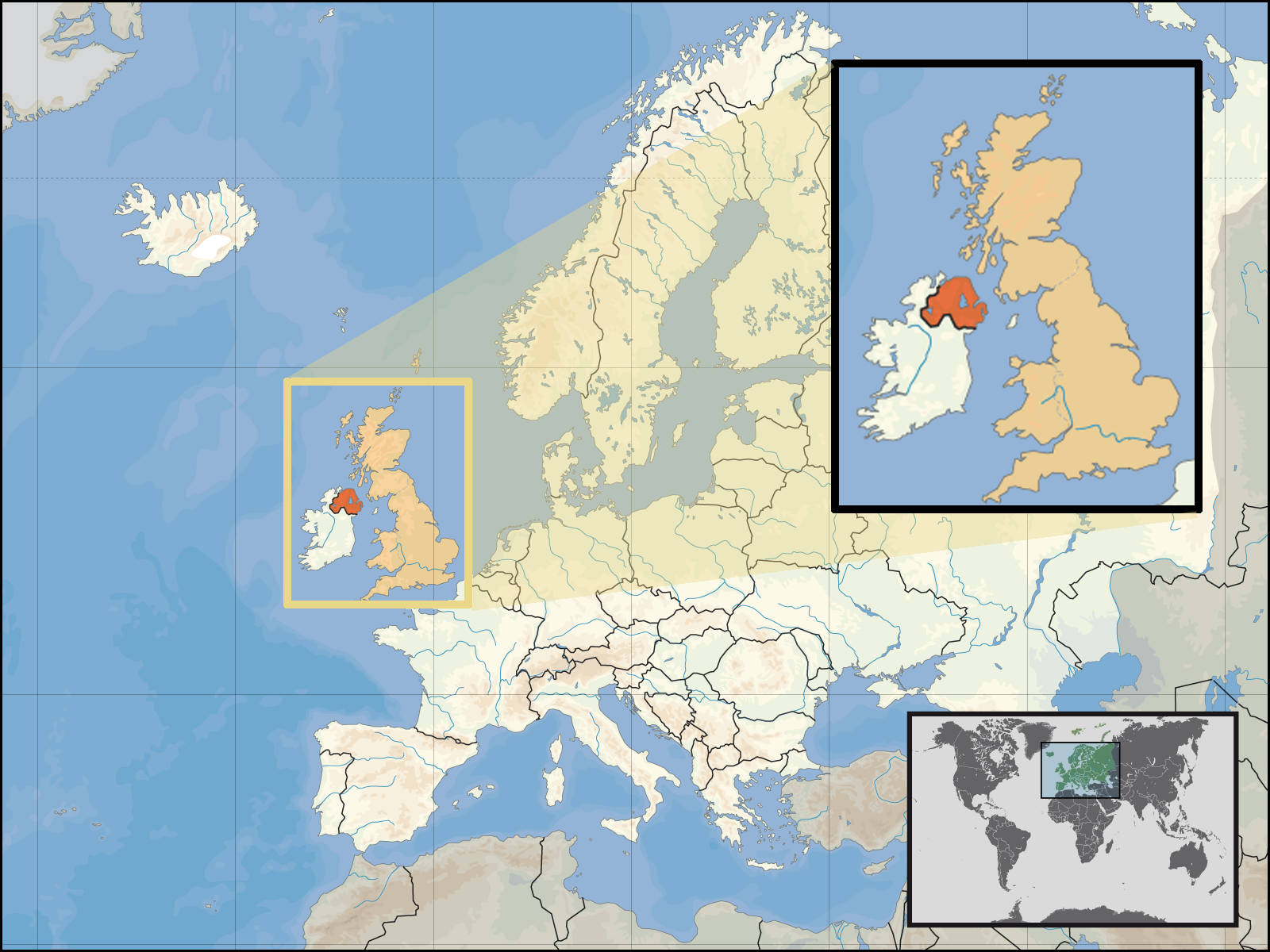
| تفصیل | Location of Northern Ireland in the UK and Europe, on terrain map showing surface and underwater contour areas. | |||
| تریخ | ||||
| سروت | Derived from Wikimedia Commons image of original work forming part of the "Europe location" map series created by David Liuzzo: derived from Image:Europe_location_N-IRL.png. | |||
| لکھاری | uploaded by User:Kmusser (excerpt from User:David_Liuzzo) | |||
| اجازت (فائل نوں دوبارہ ورتنا) |
|
|||
| دوجے ورژن |
|


فائل دی تریخ
فائل نو اس ویلے دی حالت وچ ویکھن واسطے تاریخ/ویلے تے کلک کرو۔
| تریخ تے ویلہ | نکی مورت | پاسے | ورتن والا | تیپّݨی کرو | |
|---|---|---|---|---|---|
| موجودہ | ۰۰:۰۵, ۳۰ ستمبر ۲۰۰۸ | | ۱,۶۰۰ × ۱,۲۰۰ (۷۷۲ کلوبائٹ) | Kmusser | {{Information |Description= Location of Northern Ireland in the UK and Europe, on terrain map showing surface and underwater contour areas. |Source=Derived from Wikimedia Commons image of original work forming part of the "Europe location" map |
فائل دی ورتوں
اس فائل نال جڑیا کوئی صفحہ نئیں۔
فائل ویاپک ورتوں
ایہہ دوجے وکیاں ایس فائل نوں ورتدے نیں –
- an.wikipedia.org تے ورتوں
- az.wiktionary.org تے ورتوں
- en.wikipedia.org تے ورتوں
- eu.wiktionary.org تے ورتوں
- fa.wikipedia.org تے ورتوں
- fr.wikipedia.org تے ورتوں
- gom.wikipedia.org تے ورتوں
- gu.wikipedia.org تے ورتوں
- gv.wikipedia.org تے ورتوں
- id.wikipedia.org تے ورتوں
- kn.wikipedia.org تے ورتوں
- ko.wikipedia.org تے ورتوں
- ml.wikipedia.org تے ورتوں
- nds-nl.wikipedia.org تے ورتوں
- nov.wikipedia.org تے ورتوں
- pl.wikipedia.org تے ورتوں
- pl.wiktionary.org تے ورتوں
- simple.wikipedia.org تے ورتوں
- sr.wikinews.org تے ورتوں
- tet.wikipedia.org تے ورتوں
- th.wikipedia.org تے ورتوں
- tpi.wikipedia.org تے ورتوں
- tr.wiktionary.org تے ورتوں
- war.wikipedia.org تے ورتوں