
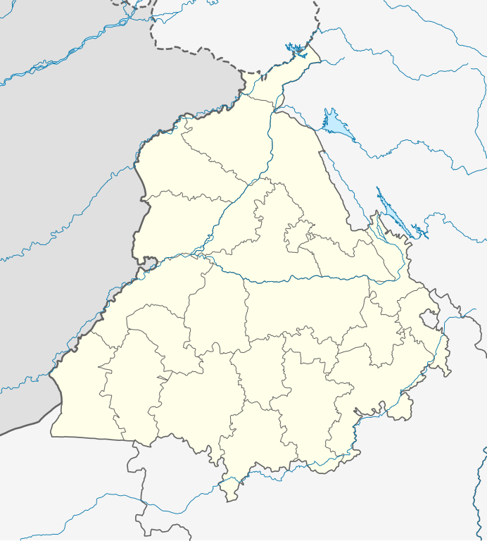
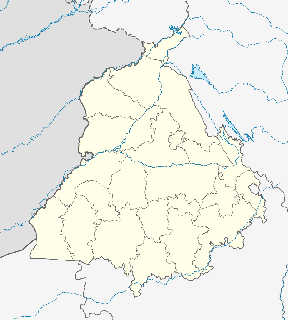
فائل:India Punjab location map.svg

اصل فائل (ایس وی جی فائل، پکسل:۹۷۹ × ۱,۰۸۶، فائل سائز: ۳۱۱ کلوبائٹ)
خلاصہ
| تفصیل |
Quadratische Plattkarte, N-S-Streckung 117 %. Geographische Begrenzung der Karte:
Equirectangular projection, N/S stretching 117 %. Geographic limits of the map:
|
|
| تریخ | ||
| سروت |
آپݨا کم, using
|
|
| لکھاری | NordNordWest | |
| اجازت (فائل نوں دوبارہ ورتنا) |
ایس فائل نوں کریٹو کامنز Attribution 3.0 جرمنی لائسنس دتا گیا.
 ایس فائل نوں کریٹو کامنز Attribution 3.0 جرمنی لائسنس دتا گیا.
|


|
This map has been made or improved in the German Kartenwerkstatt (Map Lab). You can propose maps to improve as well.
|
فائل دی تریخ
فائل نو اس ویلے دی حالت وچ ویکھن واسطے تاریخ/ویلے تے کلک کرو۔
| تریخ تے ویلہ | نکی مورت | پاسے | ورتن والا | تیپّݨی کرو | |
|---|---|---|---|---|---|
| موجودہ | ۰۹:۱۹, ۱۹ اگست ۲۰۲۲ | | ۹۷۹ × ۱,۰۸۶ (۳۱۱ کلوبائٹ) | C1MM | Fixed Ludhiana district |
| ۰۹:۰۳, ۱۹ اگست ۲۰۲۲ |  | ۹۷۹ × ۱,۰۸۶ (۳۱۲ کلوبائٹ) | C1MM | Resized to original size | |
| ۰۸:۵۷, ۱۹ اگست ۲۰۲۲ |  | ۹۵۱ × ۸۹۸ (۳۲۴ کلوبائٹ) | C1MM | Added Malerkotla district, fixed rivers and disputed boundaries for Jammu and Kashmir | |
| ۰۸:۲۳, ۱۵ جنوری ۲۰۲۱ |  | ۱,۰۴۹ × ۱,۱۶۱ (۱۱۴ کلوبائٹ) | C1MM | Added Tan Taran district | |
| ۲۳:۱۱, ۲۴ اکتوبر ۲۰۲۰ |  | ۱,۰۴۹ × ۱,۱۶۱ (۱۱۰ کلوبائٹ) | C1MM | Updated districts | |
| ۲۲:۴۱, ۴ مئی ۲۰۱۲ |  | ۱,۰۴۹ × ۱,۱۶۱ (۱۰۷ کلوبائٹ) | NordNordWest | upd | |
| ۰۱:۲۴, ۲۰ مئی ۲۰۱۰ |  | ۱,۰۴۹ × ۱,۱۶۱ (۱۰۴ کلوبائٹ) | NordNordWest | c | |
| ۰۱:۱۱, ۲۰ مئی ۲۰۱۰ |  | ۱,۰۴۹ × ۱,۱۶۱ (۱۰۵ کلوبائٹ) | NordNordWest | =={{int:filedesc}}== {{Information |Description= {{de|Positionskarte von Punjab, Indien}} Quadratische Plattkarte, N-S-Streckung 117 %. Geographische Begrenzung der Karte: * N: 32.8° N * S: 29.3° N * W: 73.5° O * |
فائل دی ورتوں
تھلے دتے گئے 10 صفحے اس فائل نال جُڑدے نیں
فائل ویاپک ورتوں
ایہہ دوجے وکیاں ایس فائل نوں ورتدے نیں –
- ar.wikipedia.org تے ورتوں
- as.wikipedia.org تے ورتوں
- azb.wikipedia.org تے ورتوں
- علیپور-۲
- علیپور-۱
- علی چاک
- علادینپور
- علیخل، جالاندر
- فول ماکاوری
- فیالی (هیندوستان)
- فاروالا, جالاندهار
- فارالا
- فانقوتا
- فامبرا
- فالپوتا
- ساروپوال
- ساروپوال, سولطانپور لودهی
- سارتی, قورداسپور
- سارنانا
- سارینه, لودهیانا
- سارینه, جالاندهار
- سارهالی
- سارهالی, جالاندهار
- سارهال کازیان
- سارهال موندی
- سارقوندی
- سارانقوال
- سارانقرا
- سارای خاس
- سارای خام
- سارای جاتان
- ساپرور
- مدا, پنجاب
- مازاری, اسبیاس ناقار
- مازارا ناو آباد
- مازارا خورد
- مازارا کالان
- سانورا
- ماوای, جالاندهار
- ماولی, فاقوارا
- ماوجیا
- ماو, پنجاب
- ماتوی, پنجاب
- سانقرای
- سانقرا, سولطانپور لودهی
- سانقووال
- سانقوجلا
- سانقول
- سانقرا (کند)
ایس فائل دا ویکھو ہور جگت ورتن .