
فائل:LocationOceans.png
ایس وکھالے دا ناپ: ۸۰۰ × ۴۰۷ پکسلز۔ دوجے ریزولوشنز: ۳۲۰ × ۱۶۳ پکسلز | ۶۴۰ × ۳۲۶ پکسلز | ۱,۰۲۴ × ۵۲۱ پکسلز | ۱,۲۸۰ × ۶۵۱ پکسلز | ۲,۷۵۹ × ۱,۴۰۴ پکسلز ۔
اصل فائل (۲,۷۵۹ × ۱,۴۰۴ پکسلز, فائل حجم: ۵۵ کلوبائٹ, MIME type: image/png)

|
This locator map image could be re-created using vector graphics as an SVG file. This has several advantages; see Commons:Media for cleanup for more information. If an SVG form of this image is available, please upload it and afterwards replace this template with
{{vector version available|new image name}}.
It is recommended to name the SVG file “LocationOceans.svg”—then the template Vector version available (or Vva) does not need the new image name parameter. |
خلاصہ
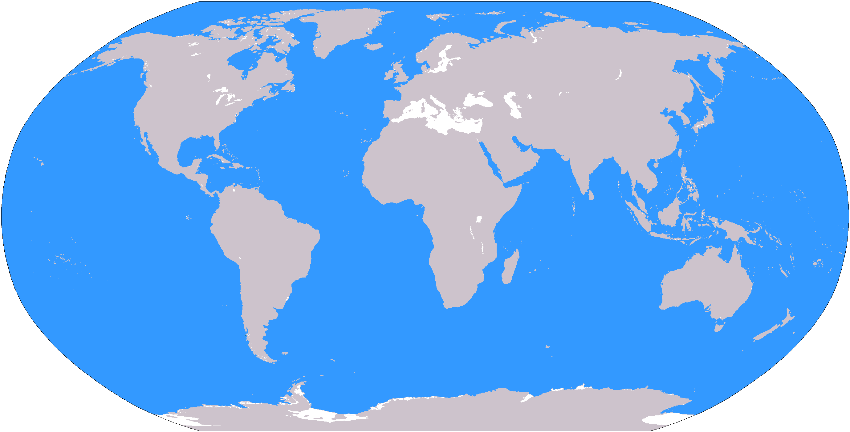
The large plain-grey Image:LocationWorld.png map modified to show oceanic areas in blue.
لائسنس –
This image is in the public domain because it contains materials that originally came from the United States Central Intelligence Agency's World Factbook.
|
 |
فائل دی تریخ
فائل نو اس ویلے دی حالت وچ ویکھن واسطے تاریخ/ویلے تے کلک کرو۔
| تریخ تے ویلہ | نکی مورت | پاسے | ورتن والا | تیپّݨی کرو | |
|---|---|---|---|---|---|
| موجودہ | ۰۰:۲۶, ۹ مارچ ۲۰۰۶ | | ۲,۷۵۹ × ۱,۴۰۴ (۵۵ کلوبائٹ) | David Kernow~commonswiki | The large plain-grey Image:LocationWorld.png map modified to show oceanic areas in blue. |
فائل دی ورتوں
تھلے دتے گئے 9 صفحے اس فائل نال جُڑدے نیں
فائل ویاپک ورتوں
ایہہ دوجے وکیاں ایس فائل نوں ورتدے نیں –
- af.wikipedia.org تے ورتوں
- Australasië
- Midde-Ooste
- Sentraal-Amerika
- Atlantiese Oseaan
- Suider-Afrika
- Indiese Oseaan
- Suidelike Oseaan
- Arktiese Oseaan
- Stille Oseaan
- Latyns-Amerika
- Oos-Asië
- Sjabloon:Gebiede van die wêreld
- Noord-Europa
- Melanesië
- Mikronesië
- Polinesië
- Oos-Afrika
- Wes-Afrika
- Noord-Afrika
- Oos-Europa
- Verre Ooste
- Sentraal-Afrika
- Afrika suid van die Sahara
- Seelandië
- Noordpoolgebied
- Karibiese gebied
- Indiese subkontinent
- Suidoos-Asië
- Wes-Asië
- Wes-Europa
- Suid-Europa
- Suid-Asië
- Sentraal-Asië
- Sentraal-Europa
- Suidoos-Europa
- Noord-Asië
- ar.wikipedia.org تے ورتوں
ایس فائل دا ویکھو ہور جگت ورتن .