
فائل:Madagascar sat.png
ایس وکھالے دا ناپ: ۳۲۰ × ۵۹۹ پکسلز۔ دوجے ریزولوشنز: ۲۵۶ × ۴۸۰ پکسلز | ۸۷۶ × ۱,۶۴۰ پکسلز ۔
اصل فائل (۸۷۶ × ۱,۶۴۰ پکسلز, فائل حجم: ۱.۴۵ میگابائٹ, MIME type: image/png)
خلاصہ
| تفصیل | |
| تریخ | انجان تاریخ |
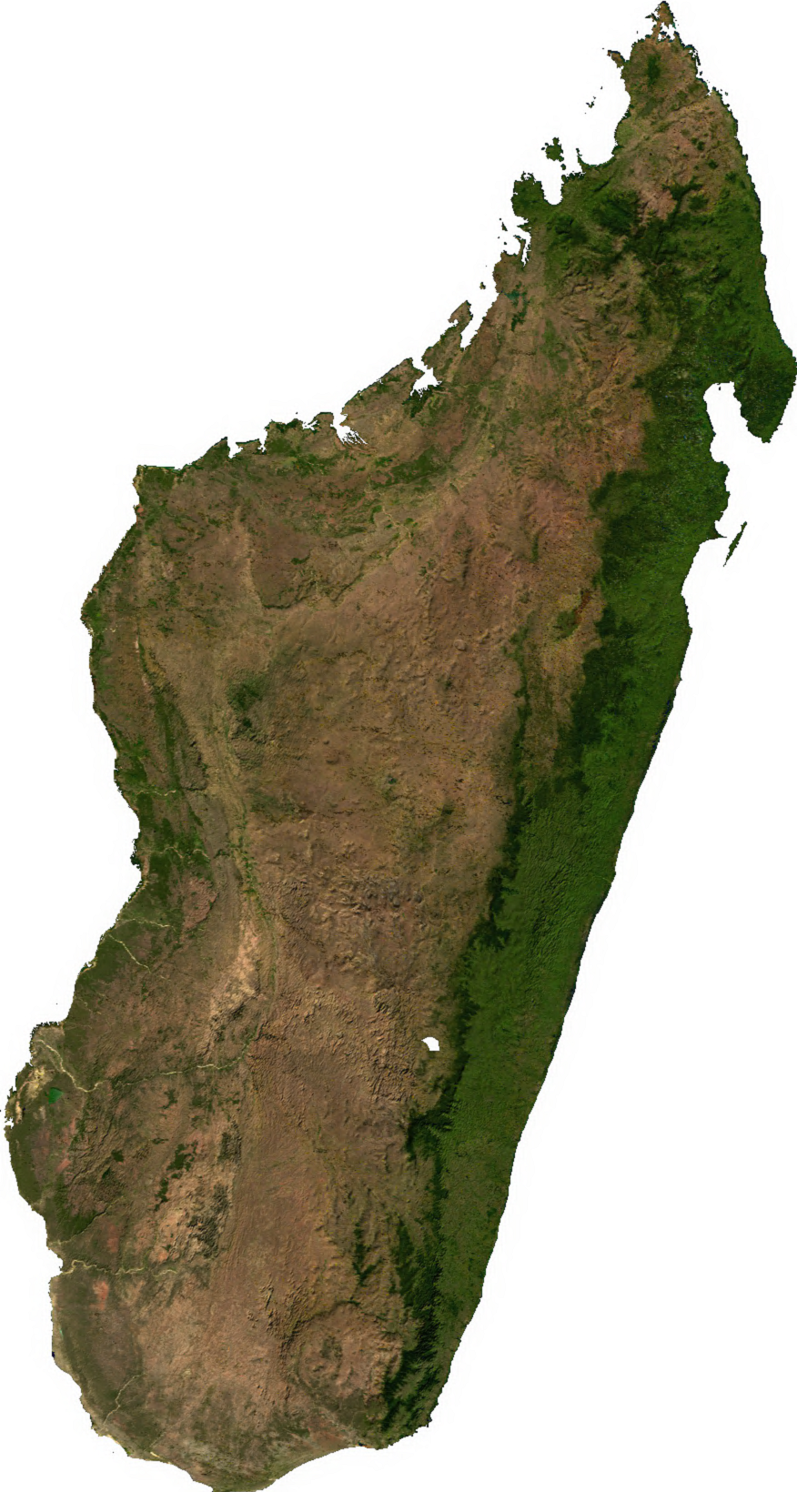
| سروت | Generated using free sources available at The Map Library |
| لکھاری |
لائسنس –
| This file is in the public domain, because it was generated by a user, using free sources available at The Map Library.
Note that this does not include the maps in the Global Administrative Areas section of the homepage. |
فائل دی تریخ
فائل نو اس ویلے دی حالت وچ ویکھن واسطے تاریخ/ویلے تے کلک کرو۔
| تریخ تے ویلہ | نکی مورت | پاسے | ورتن والا | تیپّݨی کرو | |
|---|---|---|---|---|---|
| موجودہ | ۰۷:۳۱, ۱۴ جولائی ۲۰۰۶ | | ۸۷۶ × ۱,۶۴۰ (۱.۴۵ میگابائٹ) | Unquietwiki | ECW to TIFF to PNG (compression level 9). {{PD-MapLibrary}} |
فائل دی ورتوں
تھلے دتے گئے 1 صفحے اس فائل نال جُڑدے نیں
فائل ویاپک ورتوں
ایہہ دوجے وکیاں ایس فائل نوں ورتدے نیں –
- ar.wikipedia.org تے ورتوں
- ast.wikipedia.org تے ورتوں
- bcl.wikipedia.org تے ورتوں
- bg.wikipedia.org تے ورتوں
- bn.wikipedia.org تے ورتوں
- en.wikipedia.org تے ورتوں
- fr.wikipedia.org تے ورتوں
- it.wikipedia.org تے ورتوں
- ka.wikipedia.org تے ورتوں
- lt.wikipedia.org تے ورتوں
- mg.wikipedia.org تے ورتوں
- my.wikipedia.org تے ورتوں
- pt.wikipedia.org تے ورتوں
- ro.wikipedia.org تے ورتوں
- sl.wikipedia.org تے ورتوں
- th.wikipedia.org تے ورتوں
- tl.wikipedia.org تے ورتوں
- uk.wikipedia.org تے ورتوں
- ur.wikipedia.org تے ورتوں
- vec.wikipedia.org تے ورتوں
- www.wikidata.org تے ورتوں
- yo.wikipedia.org تے ورتوں
- zh-yue.wikipedia.org تے ورتوں
- zh.wikipedia.org تے ورتوں