
فائل:Mount Kumotori User Domitori.jpg

ایس وکھالے دا ناپ: ۸۰۰ × ۶۰۰ پکسلز۔ دوجے ریزولوشنز: ۳۲۰ × ۲۴۰ پکسلز | ۶۴۰ × ۴۸۰ پکسلز | ۱,۰۲۴ × ۷۶۸ پکسلز | ۱,۲۸۰ × ۹۶۰ پکسلز ۔
اصل فائل (۱,۲۸۰ × ۹۶۰ پکسلز, فائل حجم: ۵۸۶ کلوبائٹ, MIME type: image/jpeg)
خلاصہ
| تفصیل |
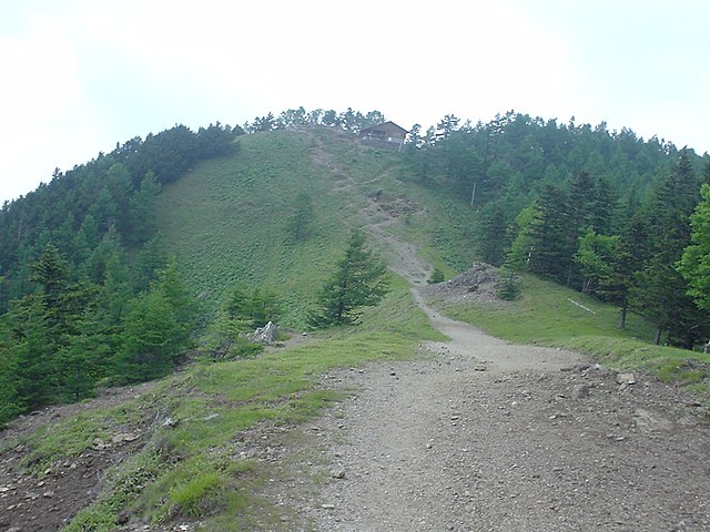
English: A summit of Mount Kumotori as seen from the Southeast.
looks as a goog glider launch, wide and grassy. As for the Landing Zone in vicinity... Sorry, only the river, I do not yet count with the photo. dima 14:27, 24 February 2007 (UTC) |
| تریخ | ۲۴ فروری ۲۰۰۷ (original upload date) |
| سروت | Transferred from en.wikipedia to Commons by Domitori. |
| لکھاری | The original uploader was Domitori at English وکیپیڈیا. |
| Camera location | | View this and other nearby images on: OpenStreetMap |
|---|
لائسنس –

|
ایس فائل دے کاپی حق رکھن والا ہر اک نوں اجازت دیندا اے جے اوہ ایس نوں کسے وی کم لئی ورت سکدا اے اگ کاپی حق رکھن والے ناں ٹھیک دسیا جاوے۔ |
|
|
پہلا اپلوڈ دا ریکارڈ
The original description page was here. All following user names refer to en.wikipedia.
- 2007-02-24 14:24 Domitori 1280×960× (599725 bytes) Top of Kumotoriyama author: Dima
فائل دی تریخ
فائل نو اس ویلے دی حالت وچ ویکھن واسطے تاریخ/ویلے تے کلک کرو۔
| تریخ تے ویلہ | نکی مورت | پاسے | ورتن والا | تیپّݨی کرو | |
|---|---|---|---|---|---|
| موجودہ | ۱۹:۲۶, ۲۹ ستمبر ۲۰۱۰ | | ۱,۲۸۰ × ۹۶۰ (۵۸۶ کلوبائٹ) | Batholith | {{Information |Description={{en|Top of Kumotoriyama looks as a goog glider launch, wide and grassy. As for the Landing Zone in vicinity... Sorry, only the river, I do not yet count with the photo. dima 14:27, 24 February 2007 (UTC |
فائل دی ورتوں
تھلے دتے گئے 1 صفحے اس فائل نال جُڑدے نیں
فائل ویاپک ورتوں
ایہہ دوجے وکیاں ایس فائل نوں ورتدے نیں –
- en.wikipedia.org تے ورتوں
- ja.wikipedia.org تے ورتوں
- ru.wikipedia.org تے ورتوں
- zh.wikipedia.org تے ورتوں