
فائل:Australia Tasmania location map blank.svg

اصل فائل (ایس وی جی فائل، پکسل:۷۸۰ × ۹۵۷، فائل سائز: ۱۹۰ کلوبائٹ)
| تفصیل |
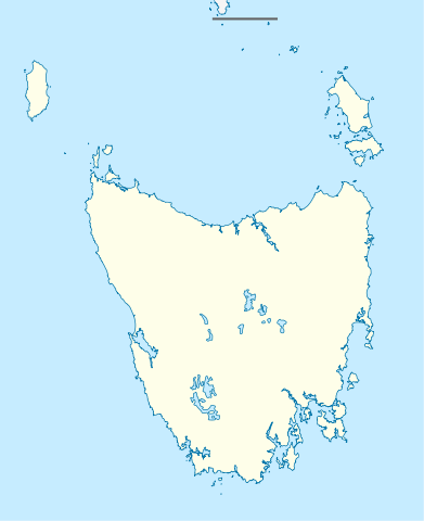
Quadratische Plattkarte, N-S-Streckung 135 %. Geographische Begrenzung der Karte:
Equirectangular projection, N/S stretching 135 %. Geographic limits of the map:
|
|
| تریخ | (UTC) | |
| سروت |
|
|
| لکھاری |
|
|
| اجازت (فائل نوں دوبارہ ورتنا) |
ایس فائل نوں کریٹو کامنز Attribution 3.0 جرمنی لائسنس دتا گیا.
 |


|
This map has been made or improved in the German Kartenwerkstatt (Map Lab). You can propose maps to improve as well.
|
- تہانوں کھلھ اے:
- حصہ کرنا – کاپی، ونڈنا تے کم بھیجنا
- فیر رلانا – کم نوں فٹ کرنا
- تھلے دتیاں شرطاں نال:
- کس دے ناں – تسیں لازمی ایس کم دے بناں والے بارے دسو جنج اونے آکھیا اے یا جنج لسنس چ آکھیا گیا ہے۔
- اکو جہا شئیر کرو۔ – اگر تسیں بدلدے یا ایس کم تے بناندے تے بنن والے کم نوں اینج دے لسنس نال ای ونڈو گے۔
پہلا اپلوڈ دا ریکارڈ
This image is a derivative work of the following images:
- File:Australia_Tasmania_location_map.svg licensed with Cc-by-sa-3.0
- 2010-04-04T22:08:26Z Chumwa 780x957 (249349 Bytes) Reverted to version as of 16:36, 29 December 2009
- 2010-04-04T21:52:15Z Roke 780x957 (194945 Bytes) local government low salience, dont appear on general use maps
- 2009-12-29T16:36:59Z NordNordWest 780x957 (249349 Bytes)
- 2009-12-29T16:23:47Z NordNordWest 780x957 (249349 Bytes) =={{int:filedesc}}== {{Information |Description= {{de|Positionskarte von [[:de:Tasmanien|Tasmanien]], [[:de:Australien|Australien]]}} Quadratische Plattkarte, N-S-Streckung 135 %. Geographische Begrenzung der Karte: * N: 39.0
Uploaded with derivativeFX
فائل دی تریخ
فائل نو اس ویلے دی حالت وچ ویکھن واسطے تاریخ/ویلے تے کلک کرو۔
| تریخ تے ویلہ | نکی مورت | پاسے | ورتن والا | تیپّݨی کرو | |
|---|---|---|---|---|---|
| موجودہ | ۰۶:۲۴, ۱۰ اپریل ۲۰۱۰ | | ۷۸۰ × ۹۵۷ (۱۹۰ کلوبائٹ) | Roke~commonswiki | {{Information |Description={{de|Positionskarte von Tasmanien, Australien}} Quadratische Plattkarte, N-S-Streckung 135 %. Geographische Begrenzung der Karte: * N: 39.0° S * S: 44.0° S * W: 143.5° O * O: 149.0° O {{e |
فائل دی ورتوں
فائل ویاپک ورتوں
ایہہ دوجے وکیاں ایس فائل نوں ورتدے نیں –
- ar.wikipedia.org تے ورتوں
- ast.wikipedia.org تے ورتوں
- azb.wikipedia.org تے ورتوں
- ceb.wikipedia.org تے ورتوں
- ckb.wikipedia.org تے ورتوں
- da.wikipedia.org تے ورتوں
- de.wikipedia.org تے ورتوں
- en.wikipedia.org تے ورتوں
- es.wikipedia.org تے ورتوں
- fa.wikipedia.org تے ورتوں
- gl.wikipedia.org تے ورتوں
- id.wikipedia.org تے ورتوں
- ja.wikipedia.org تے ورتوں
- ka.wikipedia.org تے ورتوں
- kn.wikipedia.org تے ورتوں
- mk.wikipedia.org تے ورتوں
- no.wikipedia.org تے ورتوں
- pl.wikipedia.org تے ورتوں
- pl.wikibooks.org تے ورتوں
- sco.wikipedia.org تے ورتوں
- shn.wikipedia.org تے ورتوں
- simple.wikipedia.org تے ورتوں
- si.wikipedia.org تے ورتوں
- sl.wikipedia.org تے ورتوں
- tr.wikipedia.org تے ورتوں
- ur.wikipedia.org تے ورتوں
- uz.wikipedia.org تے ورتوں
ایس فائل دا ویکھو ہور جگت ورتن .