
فائل:Cheshire UK location map.svg

Size of this PNG preview of this SVG file: ۷۷۸ × ۵۹۹ پکسلز. دوجے ریزولوشنز: ۳۱۲ × ۲۴۰ پکسلز | ۶۲۳ × ۴۸۰ پکسلز | ۹۹۷ × ۷۶۸ پکسلز | ۱,۲۸۰ × ۹۸۶ پکسلز | ۲,۵۶۰ × ۱,۹۷۳ پکسلز | ۱,۴۲۵ × ۱,۰۹۸ پکسلز ۔
اصل فائل (ایس وی جی فائل، پکسل:۱,۴۲۵ × ۱,۰۹۸، فائل سائز: ۲.۲۳ میگابائٹ)
| تفصیل |
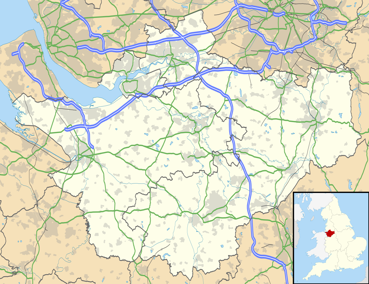
Map of Cheshire, UK with the following information shown:
Equirectangular map projection on WGS 84 datum, with N/S stretched 165% Geographic limits:
|
| تریخ | |
| سروت |
|
| لکھاری | Nilfanion, created using Ordnance Survey data |
| اجازت (فائل نوں دوبارہ ورتنا) |
ایس فائل نوں کریٹو کامنز Attribution 2.5 پولینڈ لائسنس دتا گیا. کس دے ناں: Contains Ordnance Survey data © Crown copyright and database right
|
| دوجے ورژن | File:Cheshire UK district map (blank).svg - Blank map |
.svg)
فائل دی تریخ
فائل نو اس ویلے دی حالت وچ ویکھن واسطے تاریخ/ویلے تے کلک کرو۔
| تریخ تے ویلہ | نکی مورت | پاسے | ورتن والا | تیپّݨی کرو | |
|---|---|---|---|---|---|
| موجودہ | ۲۳:۴۲, ۲۶ ستمبر ۲۰۱۰ | | ۱,۴۲۵ × ۱,۰۹۸ (۲.۲۳ میگابائٹ) | Nilfanion | {{Information |Description=Map of Cheshire, UK with the following information shown: *Administrative borders *Coastline, lakes and rivers *Roads and railways *Urban areas Equirectangular map projection on WGS 84 datum, with N/S stretched 1 |
فائل دی ورتوں
تھلے دتے گئے 1 صفحے اس فائل نال جُڑدے نیں
فائل ویاپک ورتوں
ایہہ دوجے وکیاں ایس فائل نوں ورتدے نیں –
- ar.wikipedia.org تے ورتوں
- arz.wikipedia.org تے ورتوں
- bg.wikipedia.org تے ورتوں
- bn.wikipedia.org تے ورتوں
- ca.wikipedia.org تے ورتوں
- ceb.wikipedia.org تے ورتوں
- diq.wikipedia.org تے ورتوں
- el.wikipedia.org تے ورتوں
- en.wikipedia.org تے ورتوں
- Cheshire
- Peckforton Castle
- Aldford
- Bunbury, Cheshire
- Chester
- Audlem
- Beeston, Cheshire
- Bollington
- Chester Castle
- Congleton
- Disley
- Lyme Park
- Farndon, Cheshire
- Frodsham
- Gawsworth
- Gawsworth Old Hall
- Great Budworth
- Marston, Cheshire
- Knutsford
- Langley, Cheshire
- Crewe
- Kelsall
- Nantwich
- Runcorn
- Latchford, Cheshire
- Macclesfield
- Woolston, Cheshire
- Daresbury
- Great Sankey
- Winwick, Cheshire
- Penketh
- Ellesmere Port
- Neston
- Croft, Cheshire
- Alsager
- Northwich
- Tattenhall
- Lymm
- Padgate
- Birchwood, Cheshire
ایس فائل دا ویکھو ہور جگت ورتن .