
فائل:Jharkhand locator map.svg

Size of this PNG preview of this SVG file: ۵۰۵ × ۵۹۹ پکسلز. دوجے ریزولوشنز: ۲۰۲ × ۲۴۰ پکسلز | ۴۰۴ × ۴۸۰ پکسلز | ۶۴۷ × ۷۶۸ پکسلز | ۸۶۳ × ۱,۰۲۴ پکسلز | ۱,۷۲۶ × ۲,۰۴۸ پکسلز | ۱,۶۱۴ × ۱,۹۱۵ پکسلز ۔
اصل فائل (ایس وی جی فائل، پکسل:۱,۶۱۴ × ۱,۹۱۵، فائل سائز: ۲۳۱ کلوبائٹ)
| سرلیکھ |
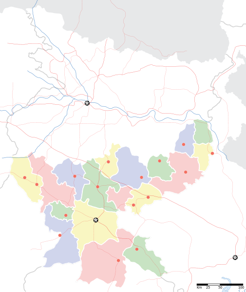
Jharkhand locator map |
||
| Description |
Locator map for the Indian state of w:Jharkhand. Equirectangular projection. Geographic limits of the map: top=27.561, bottom=21.92, left=83.25, right=88.52. |
||
| تریخ | |||
| سروت |
آپݨا کم |
||
| Creator |
|
||
| اجازت (فائل نوں دوبارہ ورتنا) |
میں، اس کم دے کاپیرائٹ دا مالک، اس کم نوں اس لائسنس دے مطابق چھاپدا واں: ایس فائل نوں کریٹو کامنز Attribution 2.5 پولینڈ لائسنس دتا گیا.
|
||
| Geotemporal data | |||
| Date depicted | second half of 20 century تے 21 century | ||
| Georeferencing | If inappropriate please set warp_status = skip to hide. | ||
| Archival data | |||
| نوٹس | Part of WikiProject India Maps | ||
فائل دی تریخ
فائل نو اس ویلے دی حالت وچ ویکھن واسطے تاریخ/ویلے تے کلک کرو۔
| تریخ تے ویلہ | نکی مورت | پاسے | ورتن والا | تیپّݨی کرو | |
|---|---|---|---|---|---|
| موجودہ | ۱۱:۴۶, ۷ ستمبر ۲۰۰۸ | | ۱,۶۱۴ × ۱,۹۱۵ (۲۳۱ کلوبائٹ) | Planemad | |
| ۰۱:۱۸, ۷ ستمبر ۲۰۰۸ |  | ۱,۶۱۴ × ۱,۹۱۵ (۱۸۳ کلوبائٹ) | Planemad | {{Information |Description={{en|1=a}} |Source=Own work by uploader |Author=PlaneMad |Date= |Permission= |other_versions= }} <!--{{ImageUpload|full}}--> |
فائل دی ورتوں
فائل ویاپک ورتوں
ایہہ دوجے وکیاں ایس فائل نوں ورتدے نیں –
- ar.wikipedia.org تے ورتوں
- ast.wikipedia.org تے ورتوں
- as.wikipedia.org تے ورتوں
- awa.wikipedia.org تے ورتوں
- ba.wikipedia.org تے ورتوں
- bh.wikipedia.org تے ورتوں
- bn.wikipedia.org تے ورتوں
- রাঁচি
- সম্মেদ শিখর
- টেমপ্লেট:অবস্থান মানচিত্র ভারত ঝাড়খণ্ড
- ঘাটশিলা
- রাজমহল
- নেতারহাট
- মুরি
- বোকারো স্টিল সিটি
- জামতাড়া
- সোনারী বিমানবন্দর
- চাইবাসা
- চক্রধরপুর
- সাহেবগঞ্জ
- রাজমহল কয়লা খনি অঞ্চল
- বোকারো বিমানবন্দর
- পাঞ্চেত বাঁধ
- ব্যবহারকারী:খাঁ শুভেন্দু/রাঁচি
- সরাইকেল্লা
- দেওঘর বিমানবন্দর
- গিরিডি
- দুগদা
- মেদিনীনগর
- দুমকা
- রাঁচি জংশন রেলওয়ে স্টেশন
- হাজারিবাগ টাউন রেলওয়ে স্টেশন
- ধলভূমগড়
- ধলভূমগড় ব্লক
- জগন্নাথ মন্দির, রাঁচি
- bo.wikipedia.org تے ورتوں
- ceb.wikipedia.org تے ورتوں
- de.wikipedia.org تے ورتوں
- fa.wikipedia.org تے ورتوں
- hi.wikipedia.org تے ورتوں
ایس فائل دا ویکھو ہور جگت ورتن .