
فائل:Central African Republic location map.svg

اصل فائل (ایس وی جی فائل، پکسل:۱,۶۰۶ × ۱,۱۰۹، فائل سائز: ۳۳۹ کلوبائٹ)
خلاصہ
| تفصیل |
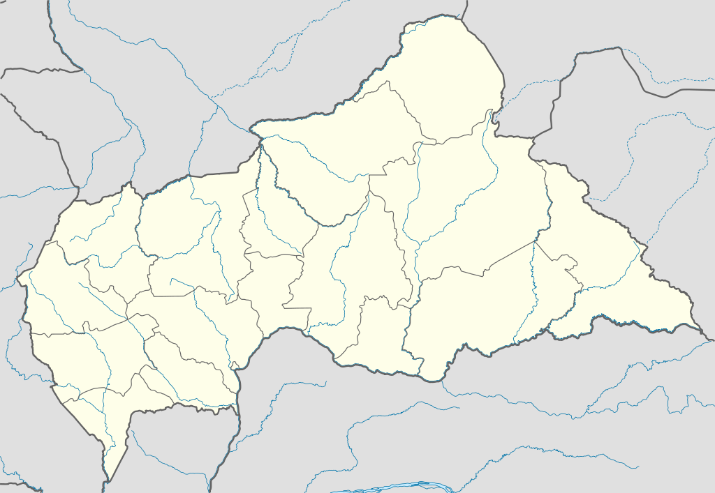
Deutsch: Positionskarte der Zentralafrikanischen Republik
Quadratische Plattkarte, N-S-Streckung 101 %. Geographische Begrenzung der Karte:
English: Location map of the Central African Republic
Equirectangular projection, N/S stretching 101 %. Geographic limits of the map:
|
|
| تریخ | ||
| سروت |
آپݨا کم, using
|
|
| لکھاری | NordNordWest | |
| اجازت (فائل نوں دوبارہ ورتنا) |
ایس فائل نوں کریٹو کامنز Attribution 3.0 جرمنی لائسنس دتا گیا.
 ایس فائل نوں کریٹو کامنز Attribution 3.0 جرمنی لائسنس دتا گیا.
|
|
| دوجے ورژن |
Derivative works of this file:
|


.svg)
.svg)
.svg)
.svg)
.svg)
.svg)
.svg)
.svg)
.svg)
.svg)
.svg)
.svg)
.svg)
.svg)
.svg)
.svg)

|
This map has been made or improved in the German Kartenwerkstatt (Map Lab). You can propose maps to improve as well.
|
فائل دی تریخ
فائل نو اس ویلے دی حالت وچ ویکھن واسطے تاریخ/ویلے تے کلک کرو۔
| تریخ تے ویلہ | نکی مورت | پاسے | ورتن والا | تیپّݨی کرو | |
|---|---|---|---|---|---|
| موجودہ | ۲۲:۵۹, ۱۰ جولائی ۲۰۱۱ | | ۱,۶۰۶ × ۱,۱۰۹ (۳۳۹ کلوبائٹ) | NordNordWest | upd |
| ۰۱:۴۷, ۶ دسمبر ۲۰۰۹ |  | ۱,۶۰۶ × ۱,۱۱۰ (۵۵۶ کلوبائٹ) | NordNordWest | =={{int:filedesc}}== {{Information |Description= {{de|Positionskarte der Zentralafrikanischen Republik}} Quadratische Plattkarte, N-S-Streckung 101 %. Geographische Begrenzung der Karte: * N: 11.3° N * S: 2.0° N * W: |
فائل دی ورتوں
اس فائل نال جڑیا کوئی صفحہ نئیں۔
فائل ویاپک ورتوں
ایہہ دوجے وکیاں ایس فائل نوں ورتدے نیں –
- af.wikipedia.org تے ورتوں
- am.wikipedia.org تے ورتوں
- an.wikipedia.org تے ورتوں
- ar.wikipedia.org تے ورتوں
- ast.wikipedia.org تے ورتوں
- azb.wikipedia.org تے ورتوں
- az.wikipedia.org تے ورتوں
- be.wikipedia.org تے ورتوں
- bg.wikipedia.org تے ورتوں
- bn.wikipedia.org تے ورتوں
- bs.wikipedia.org تے ورتوں
- ceb.wikipedia.org تے ورتوں
ایس فائل دا ویکھو ہور جگت ورتن .