
فائل:Cumberland Basin looking North.jpg

ایس وکھالے دا ناپ: ۸۰۰ × ۵۳۳ پکسلز۔ دوجے ریزولوشنز: ۳۲۰ × ۲۱۳ پکسلز | ۶۴۰ × ۴۲۷ پکسلز | ۱,۰۲۴ × ۶۸۳ پکسلز | ۱,۲۸۰ × ۸۵۳ پکسلز | ۲,۵۶۰ × ۱,۷۰۷ پکسلز | ۴,۸۹۶ × ۳,۲۶۴ پکسلز ۔
اصل فائل (۴,۸۹۶ × ۳,۲۶۴ پکسلز, فائل حجم: ۹.۸۳ میگابائٹ, MIME type: image/jpeg)
خلاصہ
| تفصیل |
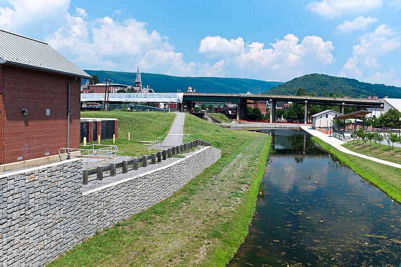
English: This is the basin at the end of the Chesapeake and Ohio Canal, looking north toward the end of the canal. Guard lock #8 is at the end of the channel on the left. Interstate Highway 68 / US 40 / US 220 runs on that bridge in the background. The Western Maryland Station is just visiable (brick building) beyond the highway bridge. Shops at Canal Place are to the right of the basin. Potomac River is to the left, just beyond the flood wall. |
| سروت | آپݨا کم |
| لکھاری | Bonnachoven |
لائسنس –
میں، اس کم دے کاپیرائٹ دا مالک، اس کم نوں اس لائسنس دے مطابق چھاپدا واں:
| ایس فائل نوں ایہ لسنس کریٹو کامنز CC0 1.0 یونیورسل پبلک ڈومین ڈیڈیکیشن دتا گیا اے۔ | |
| اوہ بندا جینے اے کم کیتا اے اونے اے کم public domain دے ناں لایا اے تے سارے حقاں نوں چھڈ دتا اے۔ تسیں اینو کاروبار کم لئی ورت سکدے اے یا بدل سکدے او بنا کسے اجازت دے۔
|
فائل دی تریخ
فائل نو اس ویلے دی حالت وچ ویکھن واسطے تاریخ/ویلے تے کلک کرو۔
| تریخ تے ویلہ | نکی مورت | پاسے | ورتن والا | تیپّݨی کرو | |
|---|---|---|---|---|---|
| موجودہ | ۱۵:۰۱, ۲۰ جولائی ۲۰۱۳ | | ۴,۸۹۶ × ۳,۲۶۴ (۹.۸۳ میگابائٹ) | Bonnachoven | {{Information |Description ={{en|1=This is the basin at the end of the Chesapeake and Ohio Canal, looking north toward the end of the canal. Guard lock #8 is at the end of the channel on the left. Interstate Highway 68 / US 40 / US 220 runs on that ... |
فائل دی ورتوں
تھلے دتے گئے 1 صفحے اس فائل نال جُڑدے نیں
فائل ویاپک ورتوں
ایہہ دوجے وکیاں ایس فائل نوں ورتدے نیں –
- ceb.wikipedia.org تے ورتوں
- en.wikipedia.org تے ورتوں
- en.wikivoyage.org تے ورتوں
- he.wikivoyage.org تے ورتوں
- ja.wikipedia.org تے ورتوں
- pl.wikipedia.org تے ورتوں
- sv.wikipedia.org تے ورتوں
- ur.wikipedia.org تے ورتوں
- www.wikidata.org تے ورتوں
- zh.wikipedia.org تے ورتوں