
فائل:Georgetown in the distance.jpg

ایس وکھالے دا ناپ: ۸۰۰ × ۶۰۰ پکسلز۔ دوجے ریزولوشنز: ۳۲۰ × ۲۴۰ پکسلز | ۶۴۰ × ۴۸۰ پکسلز | ۱,۰۲۴ × ۷۶۸ پکسلز | ۱,۲۸۰ × ۹۶۰ پکسلز | ۲,۵۶۰ × ۱,۹۲۰ پکسلز | ۳,۶۴۸ × ۲,۷۳۶ پکسلز ۔
اصل فائل (۳,۶۴۸ × ۲,۷۳۶ پکسلز, فائل حجم: ۳.۲۳ میگابائٹ, MIME type: image/jpeg)
خلاصہ
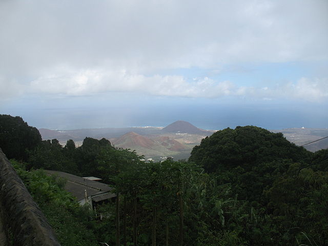
| تفصیل | View of Ascension Island with Georgetown in the distance |
| تریخ | |
| سروت | Georgetown in the distance |
| لکھاری | Ben Tullis from Cambridge, United Kingdom |
| Camera location | | View this and other nearby images on: OpenStreetMap |
|---|
لائسنس –
اے فائل ایس لائسنس تھلے آندی اے Creative Commons Attribution 1.0 Generic .
- تہانوں کھلھ اے:
- حصہ کرنا – کاپی، ونڈنا تے کم بھیجنا
- فیر رلانا – کم نوں فٹ کرنا
- تھلے دتیاں شرطاں نال:
- کس دے ناں – تسیں لازمی ایس کم دے بناں والے بارے دسو جنج اونے آکھیا اے یا جنج لسنس چ آکھیا گیا ہے۔
| This image, originally posted to Flickr, was reviewed on October 28, 2008 by the administrator or reviewer File Upload Bot (Magnus Manske), who confirmed that it was available on Flickr under the stated license on that date. |
فائل دی تریخ
فائل نو اس ویلے دی حالت وچ ویکھن واسطے تاریخ/ویلے تے کلک کرو۔
| تریخ تے ویلہ | نکی مورت | پاسے | ورتن والا | تیپّݨی کرو | |
|---|---|---|---|---|---|
| موجودہ | ۲۲:۰۳, ۲۸ اکتوبر ۲۰۰۸ | | ۳,۶۴۸ × ۲,۷۳۶ (۳.۲۳ میگابائٹ) | File Upload Bot (Magnus Manske) | {{Information |Description= |Source=[http://www.flickr.com/photos/7573630@N04/2480980833/ Georgetown in the distance] * Uploaded by RaviC |Date=May 08, 2008 at 09:58 |Author=[http://www.flickr.com/people/7573630@N04 Ben Tullis] from Cambr |
فائل دی ورتوں
تھلے دتے گئے 1 صفحے اس فائل نال جُڑدے نیں
فائل ویاپک ورتوں
ایہہ دوجے وکیاں ایس فائل نوں ورتدے نیں –
- ar.wikipedia.org تے ورتوں
- de.wikipedia.org تے ورتوں
- en.wikipedia.org تے ورتوں
- es.wikipedia.org تے ورتوں
- eu.wikipedia.org تے ورتوں
- gl.wikipedia.org تے ورتوں
- hy.wikipedia.org تے ورتوں
- it.wikipedia.org تے ورتوں
- ko.wikipedia.org تے ورتوں
- pt.wikipedia.org تے ورتوں
- simple.wikipedia.org تے ورتوں
- th.wikipedia.org تے ورتوں
- tr.wikipedia.org تے ورتوں
- uk.wikipedia.org تے ورتوں
- ur.wikipedia.org تے ورتوں