
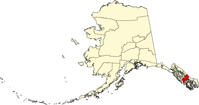
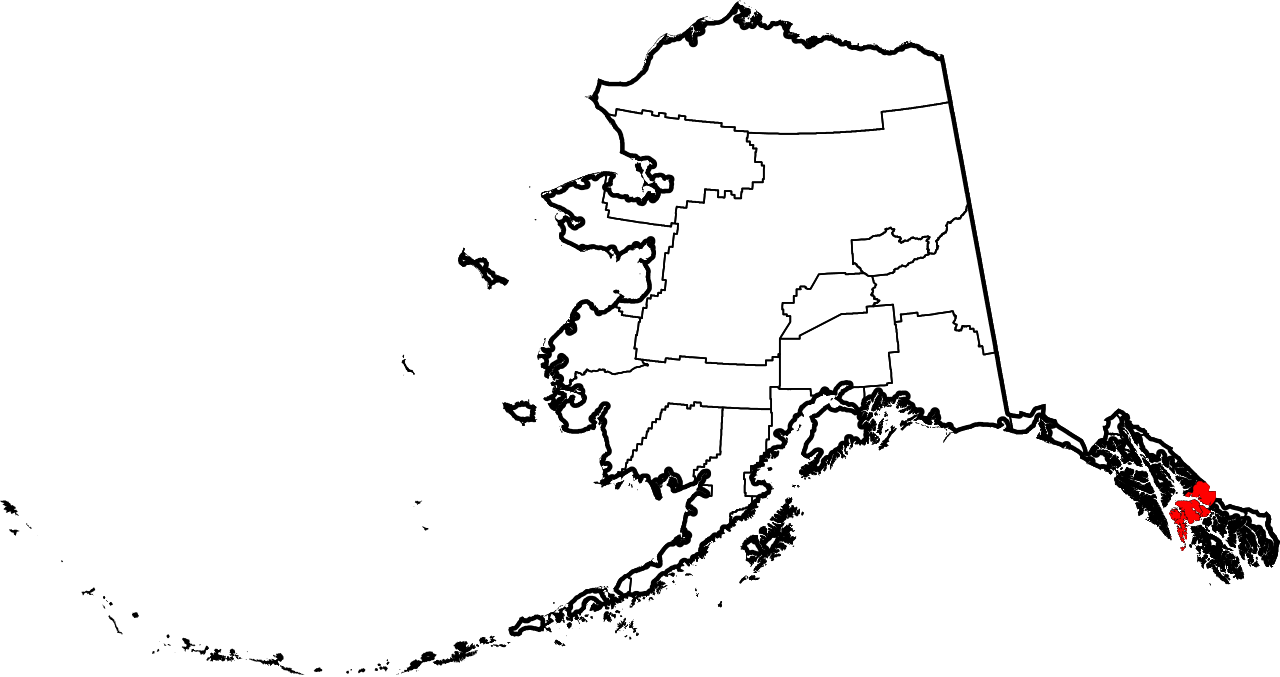
فائل:Map of Alaska highlighting Petersburg Census Area.svg

Size of this PNG preview of this SVG file: ۸۰۰ × ۴۲۳ پکسلز. دوجے ریزولوشنز: ۳۲۰ × ۱۶۹ پکسلز | ۶۴۰ × ۳۳۸ پکسلز | ۱,۰۲۴ × ۵۴۱ پکسلز | ۱,۲۸۰ × ۶۷۷ پکسلز | ۲,۵۶۰ × ۱,۳۵۳ پکسلز | ۱,۴۷۰ × ۷۷۷ پکسلز ۔
اصل فائل (ایس وی جی فائل، پکسل:۱,۴۷۰ × ۷۷۷، فائل سائز: ۴۲۸ کلوبائٹ)
| تفصیل | |||
| تریخ | |||
| سروت | آپݨا کم | ||
| لکھاری | Dtbohrer | ||
| اجازت (فائل نوں دوبارہ ورتنا) |
|
||
| دوجے ورژن |
 |
||
| SVG genesis |
فائل دی تریخ
فائل نو اس ویلے دی حالت وچ ویکھن واسطے تاریخ/ویلے تے کلک کرو۔
| تریخ تے ویلہ | نکی مورت | پاسے | ورتن والا | تیپّݨی کرو | |
|---|---|---|---|---|---|
| موجودہ | ۰۳:۱۷, ۲۶ جنوری ۲۰۰۹ | | ۱,۴۷۰ × ۷۷۷ (۴۲۸ کلوبائٹ) | Niagara | == Summary == {{Information |Description={{en|1=Map of Alaska highlighting the Petersburg Census Area}} |Source=self made |Author=Dtbohrer |Date=January 25, 2009 |Permission= |other_versi |
فائل دی ورتوں
تھلے دتے گئے 1 صفحے اس فائل نال جُڑدے نیں
فائل ویاپک ورتوں
ایہہ دوجے وکیاں ایس فائل نوں ورتدے نیں –
- ca.wikipedia.org تے ورتوں
- ce.wikipedia.org تے ورتوں
- cy.wikipedia.org تے ورتوں
- de.wikipedia.org تے ورتوں
- en.wikipedia.org تے ورتوں
- List of boroughs and census areas in Alaska
- Petersburg Borough, Alaska
- Mitkof Island
- Wrangell Narrows
- Frederick Sound
- Sumner Strait
- Chatham Strait
- Petrof Bay
- LeConte Glacier
- Wikipedia:WikiProject Alaska
- LeConte Bay
- Chuck River Wilderness
- ABC Islands (Alaska)
- Lloyd R. Roundtree Seaplane Facility
- Sebree Peak
- Lindenberg Peninsula
- Template:PetersburgAK-geo-stub
- Duncan Canal (Alaska)
- Favor Peak
- Sam Peak
- Manzanita Peak
- Duncan Canal (volcanic field)
- National Register of Historic Places listings in Petersburg Borough, Alaska
- Kates Needle
- Woewodski Island
- Charles W
- Category:Populated places in Petersburg Borough, Alaska
- Petersburg Creek–Duncan Salt Chuck Wilderness
- Dry Strait
- User:AridCeption/sandbox
- es.wikipedia.org تے ورتوں
- fi.wikipedia.org تے ورتوں
- fr.wikipedia.org تے ورتوں
- ga.wikipedia.org تے ورتوں
- hu.wikipedia.org تے ورتوں
- ja.wikipedia.org تے ورتوں
- ko.wikipedia.org تے ورتوں
- nds.wikipedia.org تے ورتوں
- pl.wikipedia.org تے ورتوں
ایس فائل دا ویکھو ہور جگت ورتن .