
فائل:Map India and Pakistan 1-250,000 Tile NF 45-11, Contai.jpg

ایس وکھالے دا ناپ: ۷۹۵ × ۵۹۹ پکسلز۔ دوجے ریزولوشنز: ۳۱۸ × ۲۴۰ پکسلز | ۶۳۷ × ۴۸۰ پکسلز | ۱,۰۱۹ × ۷۶۸ پکسلز | ۱,۲۸۰ × ۹۶۵ پکسلز | ۲,۵۶۰ × ۱,۹۳۰ پکسلز | ۵,۰۰۰ × ۳,۷۷۰ پکسلز ۔
اصل فائل (۵,۰۰۰ × ۳,۷۷۰ پکسلز, فائل حجم: ۱.۳۲ میگابائٹ, MIME type: image/jpeg)
خلاصہ
| Description |
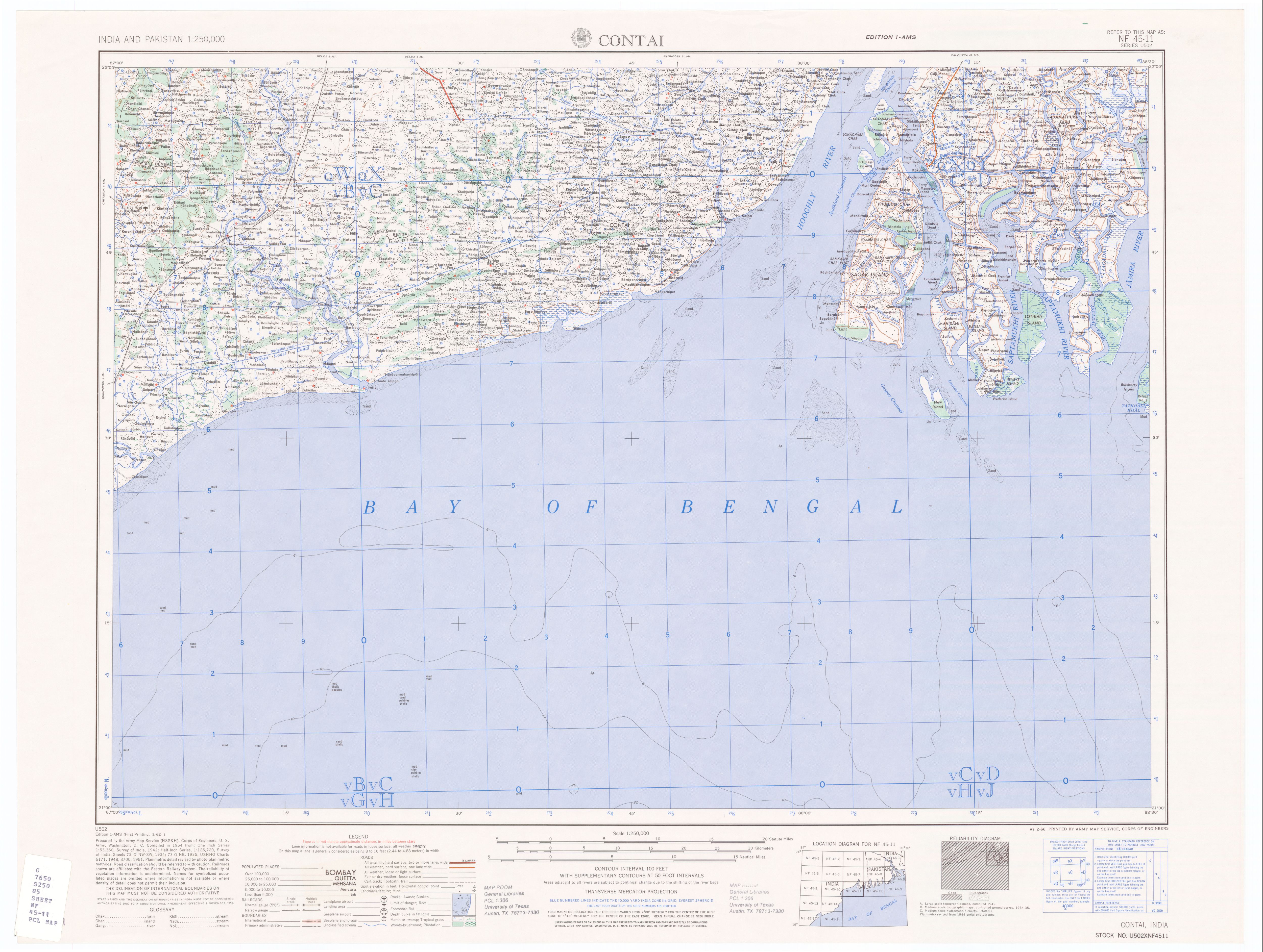
50% quality copy of Contai, India map by U.S. Army Map Service. Compiled in 1954. |
|||||||||
| سروت | http://www.lib.utexas.edu/maps/ams/india/nf-45-11.jpg linked from http://www.lib.utexas.edu/maps/ams/india/ | |||||||||
| Creator |
U.S. Army Map Service, Corps of Engineers |
|||||||||
| اجازت (فائل نوں دوبارہ ورتنا) |
PD U.S. Government work. "Courtesy of the University of Texas Libraries, The University of Texas at Austin." | |||||||||
| Geotemporal data | ||||||||||
| Bounding box |
|
|||||||||
| Georeferencing | ||||||||||
| دوجے ورژن |
Derivative works of this file: |
|||||||||
لائسنس –
This work is in the public domain in the United States because it is a work prepared by an officer or employee of the United States Government as part of that person’s official duties under the terms of Title 17, Chapter 1, Section 105 of the US Code.
Note: This only applies to original works of the Federal Government and not to the work of any individual U.S. state, territory, commonwealth, county, municipality, or any other subdivision. This template also does not apply to postage stamp designs published by the United States Postal Service since 1978. (See § 313.6(C)(1) of Compendium of U.S. Copyright Office Practices). It also does not apply to certain US coins; see The US Mint Terms of Use.
|
 | |
| ایہ فائل دے بارے چ دس اے جے اے کاپی حف دیاں روکاں توں کھلی اے تے نالدے رلدے حقاں توں وی۔ | ||
فائل دی تریخ
فائل نو اس ویلے دی حالت وچ ویکھن واسطے تاریخ/ویلے تے کلک کرو۔
| تریخ تے ویلہ | نکی مورت | پاسے | ورتن والا | تیپّݨی کرو | |
|---|---|---|---|---|---|
| موجودہ | ۱۲:۴۴, ۱۰ جنوری ۲۰۰۷ | | ۵,۰۰۰ × ۳,۷۷۰ (۱.۳۲ میگابائٹ) | SEWilco | {{Information |Description=50% quality copy of Contai, India map by U.S. Army Map Service. Compiled in 1954. |Source=http://www.lib.utexas.edu/maps/ams/india/nf-45-11.jpg linked from http://www.lib.utexas.edu/maps/ams/india/ |Date= |Author=U.S. Army Map |
فائل دی ورتوں
اس فائل نال جڑیا کوئی صفحہ نئیں۔