
فائل:Normandy map.png
ایس وکھالے دا ناپ: ۸۰۰ × ۵۷۱ پکسلز۔ دوجے ریزولوشنز: ۳۲۰ × ۲۲۹ پکسلز | ۶۴۰ × ۴۵۷ پکسلز | ۱,۰۲۴ × ۷۳۱ پکسلز | ۱,۲۸۰ × ۹۱۴ پکسلز | ۱,۹۶۶ × ۱,۴۰۴ پکسلز ۔
اصل فائل (۱,۹۶۶ × ۱,۴۰۴ پکسلز, فائل حجم: ۲۳۸ کلوبائٹ, MIME type: image/png)

|
This locator map image could be re-created using vector graphics as an SVG file. This has several advantages; see Commons:Media for cleanup for more information. If an SVG form of this image is available, please upload it and afterwards replace this template with
{{vector version available|new image name}}.
It is recommended to name the SVG file “Normandy map.svg”—then the template Vector version available (or Vva) does not need the new image name parameter. |
خلاصہ
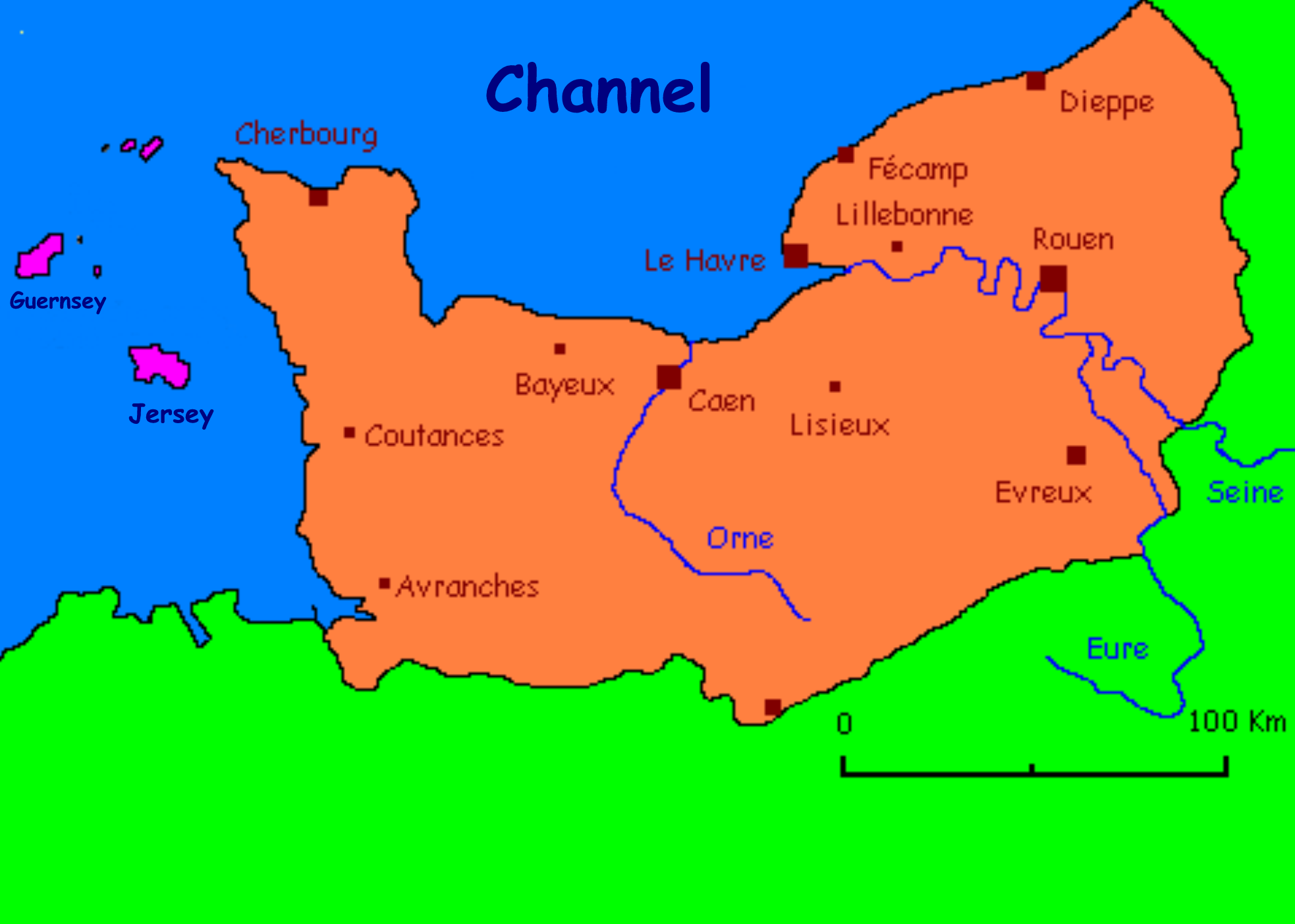
Carte présentant quelques villes normandes/ Carte réalisée par l'utilisateur fr:Utilisateur:Urban
Anglicised by User:Man vyi
derivative works
Derivative works of this file: Lassy in Normandy.jpg
لائسنس –

|
کاپی کرن، ونڈن تے بدلن دی ایس ڈوکومنٹ لئی اجازت دتی جاندی اے ایہناں GNU Free Documentation License, Version 1.2 شرطاں نال یا مگروں کسے وی چھپے ورین Free Software Foundation توں بنا کسے انویرینٹ سیکشن دے، ناں فرنٹ کور لکھت تے ناں بیک کور لکھت دے۔ لسنس دی اک کاپی سیکشن وچ ہیگی اے جہدا ناں اے GNU Free Documentation License۔ |
| ایس فائل نوں کریٹو کامنز Attribution 2.5 پولینڈ لائسنس دتا گیا. | ||
| ||
| اس لائسنس دا ٹیگ GFDL دے مطابق اس فائل چ پایا گیا اے licensing update۔ |
| Annotations | This image is annotated: View the annotations at Commons |
فائل دی تریخ
فائل نو اس ویلے دی حالت وچ ویکھن واسطے تاریخ/ویلے تے کلک کرو۔
| تریخ تے ویلہ | نکی مورت | پاسے | ورتن والا | تیپّݨی کرو | |
|---|---|---|---|---|---|
| موجودہ | ۰۳:۴۰, ۹ جون ۲۰۱۰ | | ۱,۹۶۶ × ۱,۴۰۴ (۲۳۸ کلوبائٹ) | Ras67 | cropped |
| ۱۲:۱۰, ۸ نومبر ۲۰۰۵ |  | ۲,۰۴۸ × ۱,۴۷۰ (۲۶۵ کلوبائٹ) | Man vyi | Carte présentant quelques villes normandes/ Carte réalisée par l'utilisateur fr:Utilisateur:Urban Anglicised by User:Man vyi Category:Normandy |
فائل دی ورتوں
اس فائل نال جڑیا کوئی صفحہ نئیں۔
فائل ویاپک ورتوں
ایہہ دوجے وکیاں ایس فائل نوں ورتدے نیں –
- ang.wikipedia.org تے ورتوں
- an.wikipedia.org تے ورتوں
- ar.wikipedia.org تے ورتوں
- ast.wikipedia.org تے ورتوں
- azb.wikipedia.org تے ورتوں
- az.wikipedia.org تے ورتوں
- be-tarask.wikipedia.org تے ورتوں
- be.wikipedia.org تے ورتوں
- ca.wikipedia.org تے ورتوں
- de.wikipedia.org تے ورتوں
- en.wikipedia.org تے ورتوں
- eo.wikipedia.org تے ورتوں
- es.wikipedia.org تے ورتوں
- eu.wikipedia.org تے ورتوں
- fa.wikipedia.org تے ورتوں
- fy.wikipedia.org تے ورتوں
- he.wikipedia.org تے ورتوں
- hy.wikipedia.org تے ورتوں
- id.wikipedia.org تے ورتوں
- ja.wikipedia.org تے ورتوں
- jv.wikipedia.org تے ورتوں
- kk.wikipedia.org تے ورتوں
- kw.wikipedia.org تے ورتوں
- lv.wikipedia.org تے ورتوں
- mn.wikipedia.org تے ورتوں
- mr.wikipedia.org تے ورتوں
- nds.wikipedia.org تے ورتوں
- nn.wikipedia.org تے ورتوں
- ru.wikipedia.org تے ورتوں
- ru.wiktionary.org تے ورتوں
- sco.wikipedia.org تے ورتوں
- sk.wikipedia.org تے ورتوں
- ta.wikipedia.org تے ورتوں
- tl.wikipedia.org تے ورتوں
- tr.wikipedia.org تے ورتوں
- ug.wikipedia.org تے ورتوں
- uk.wikipedia.org تے ورتوں
- vec.wikipedia.org تے ورتوں
- wa.wikipedia.org تے ورتوں
- zh-min-nan.wikipedia.org تے ورتوں
ایس فائل دا ویکھو ہور جگت ورتن .