
فائل:Yavapai County incorporated areas Jerome highlighted.svg

Size of this PNG preview of this SVG file: ۶۸۵ × ۵۹۹ پکسلز. دوجے ریزولوشنز: ۲۷۴ × ۲۴۰ پکسلز | ۵۴۹ × ۴۸۰ پکسلز | ۸۷۸ × ۷۶۸ پکسلز | ۱,۱۷۰ × ۱,۰۲۴ پکسلز | ۲,۳۴۱ × ۲,۰۴۸ پکسلز ۔
اصل فائل (ایس وی جی فائل، پکسل:۸۰۰ × ۷۰۰، فائل سائز: ۴۰ کلوبائٹ)
خلاصہ
| تفصیل |
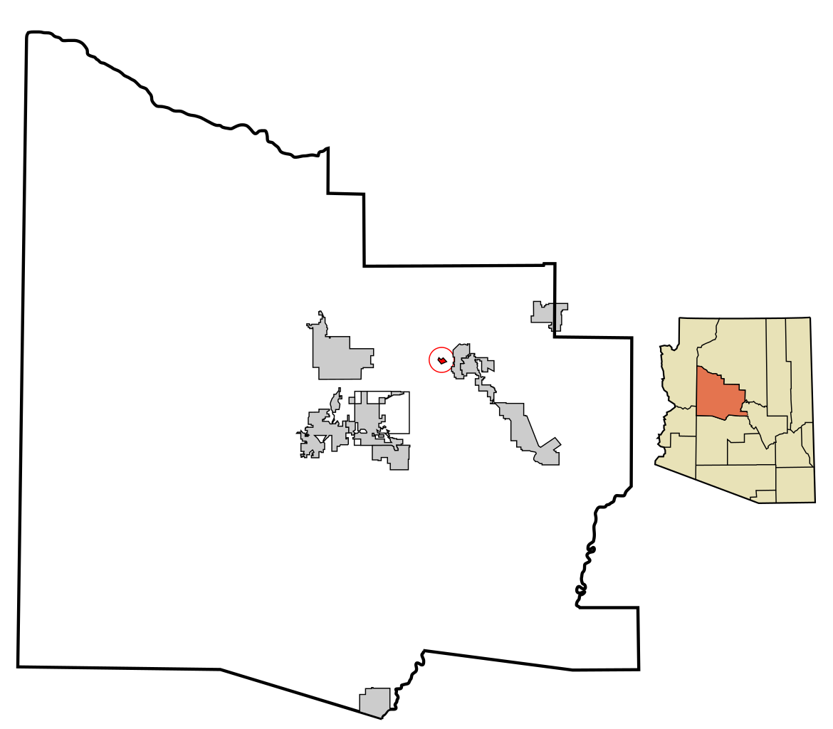
This map shows the incorporated areas in Yavapai County, Arizona.
____ I created it in Inkscape using data from the Yavapai county government website. |
| تریخ | |
| سروت | My own work, based on public domain information. Based on similar map concepts by Ixnayonthetimmay |
| لکھاری | Arkyan |
| اجازت (فائل نوں دوبارہ ورتنا) |
Copyleft-type licensing. See below. |
| دوجے ورژن | See Category:Maps of Yavapai County for other versions of this image. |
لائسنس –
میں، اس کم دے کاپیرائٹ دا مالک، اس کم نوں اس لائسنس دے مطابق چھاپدا واں:

|
کاپی کرن، ونڈن تے بدلن دی ایس ڈوکومنٹ لئی اجازت دتی جاندی اے ایہناں GNU Free Documentation License, Version 1.2 شرطاں نال یا مگروں کسے وی چھپے ورین Free Software Foundation توں بنا کسے انویرینٹ سیکشن دے، ناں فرنٹ کور لکھت تے ناں بیک کور لکھت دے۔ لسنس دی اک کاپی سیکشن وچ ہیگی اے جہدا ناں اے GNU Free Documentation License۔ |
| ایس فائل نوں کریٹو کامنز Attribution 2.5 پولینڈ لائسنس دتا گیا. | ||
| ||
| اس لائسنس دا ٹیگ GFDL دے مطابق اس فائل چ پایا گیا اے licensing update۔ |
ایس فائل نوں Creative Commons Attribution-Share Alike 2.5 Generic, 2.0 Generic and 1.0 Generic لسنس دتا گیا اے۔
- تہانوں کھلھ اے:
- حصہ کرنا – کاپی، ونڈنا تے کم بھیجنا
- فیر رلانا – کم نوں فٹ کرنا
- تھلے دتیاں شرطاں نال:
- کس دے ناں – تسیں لازمی ایس کم دے بناں والے بارے دسو جنج اونے آکھیا اے یا جنج لسنس چ آکھیا گیا ہے۔
- اکو جہا شئیر کرو۔ – اگر تسیں بدلدے یا ایس کم تے بناندے تے بنن والے کم نوں اینج دے لسنس نال ای ونڈو گے۔
تسیں اپنی مرضی دا لائسنس چݨ سکدے اوہ۔
فائل دی تریخ
فائل نو اس ویلے دی حالت وچ ویکھن واسطے تاریخ/ویلے تے کلک کرو۔
| تریخ تے ویلہ | نکی مورت | پاسے | ورتن والا | تیپّݨی کرو | |
|---|---|---|---|---|---|
| موجودہ | ۰۳:۵۳, ۲۱ مارچ ۲۰۰۷ | | ۸۰۰ × ۷۰۰ (۴۰ کلوبائٹ) | Shereth | {{Information |Description=This map shows the incorporated areas in Yavapai County, Arizona, highlighting Jerome in red. I created it in Inkscape using data from t |
فائل دی ورتوں
تھلے دتے گئے 1 صفحے اس فائل نال جُڑدے نیں
فائل ویاپک ورتوں
ایہہ دوجے وکیاں ایس فائل نوں ورتدے نیں –
- ar.wikipedia.org تے ورتوں
- ca.wikipedia.org تے ورتوں
- cy.wikipedia.org تے ورتوں
- de.wikipedia.org تے ورتوں
- eu.wikipedia.org تے ورتوں
- fa.wikipedia.org تے ورتوں
- ht.wikipedia.org تے ورتوں
- it.wikipedia.org تے ورتوں
- pt.wikipedia.org تے ورتوں
- sr.wikipedia.org تے ورتوں
- tt.wikipedia.org تے ورتوں
- ur.wikipedia.org تے ورتوں
- www.wikidata.org تے ورتوں
- zh-min-nan.wikipedia.org تے ورتوں