
فائل:Map of Kentucky highlighting Fulton County.svg

Size of this PNG preview of this SVG file: ۸۰۰ × ۳۴۵ پکسلز. دوجے ریزولوشنز: ۳۲۰ × ۱۳۸ پکسلز | ۶۴۰ × ۲۷۶ پکسلز | ۱,۰۲۴ × ۴۴۱ پکسلز | ۱,۲۸۰ × ۵۵۱ پکسلز | ۲,۵۶۰ × ۱,۱۰۳ پکسلز | ۶,۷۷۰ × ۲,۹۱۶ پکسلز ۔
اصل فائل (ایس وی جی فائل، پکسل:۶,۷۷۰ × ۲,۹۱۶، فائل سائز: ۱۲۷ کلوبائٹ)
خلاصہ
| تفصیل |
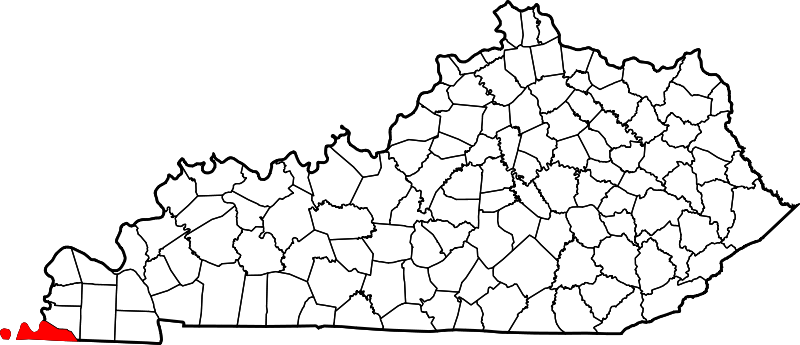
English: This is a locator map showing Fulton County in Kentucky. For more information, see Commons:United States county locator maps. |
| تریخ | |
| سروت |
آپݨا کم: English: The maps use data from nationalatlas.gov, specifically countyp020.tar.gz on the Raw Data Download page. The maps also use state outline data from statesp020.tar.gz. The Florida maps use hydrogm020.tar.gz to display Lake Okeechobee. |
| لکھاری | David Benbennick |
لائسنس –
| میں، اس کم دے کاپیرائٹ دا مالک، اس کم نوں لوکاں واسطے دیندا واں۔ اے سارے جگ واسطے لاگو اے۔ کج ملکاں چ قانونی طور تے اے ممکن نئیں اے؛ اگر انج ای اے ے: میں ہر کسے نوں اس کم نوں کسے وی مقصد واسطے ورتن دا بغیر کسے شرط دے حق دیندا واں، اگر اوہ قانون دے خلاف نا ہوۓ۔ |
فائل دی تریخ
فائل نو اس ویلے دی حالت وچ ویکھن واسطے تاریخ/ویلے تے کلک کرو۔
| تریخ تے ویلہ | نکی مورت | پاسے | ورتن والا | تیپّݨی کرو | |
|---|---|---|---|---|---|
| موجودہ | ۱۷:۲۱, ۱۲ فروری ۲۰۰۶ | | ۶,۷۷۰ × ۲,۹۱۶ (۱۲۷ کلوبائٹ) | David Benbennick | {{subst:User:Dbenbenn/clm|county=Fulton County|state=Kentucky}} |
فائل دی ورتوں
تھلے دتے گئے 1 صفحے اس فائل نال جُڑدے نیں
فائل ویاپک ورتوں
ایہہ دوجے وکیاں ایس فائل نوں ورتدے نیں –
- ar.wikipedia.org تے ورتوں
- azb.wikipedia.org تے ورتوں
- bg.wikipedia.org تے ورتوں
- bpy.wikipedia.org تے ورتوں
- cdo.wikipedia.org تے ورتوں
- ceb.wikipedia.org تے ورتوں
- ce.wikipedia.org تے ورتوں
- cs.wikipedia.org تے ورتوں
- cy.wikipedia.org تے ورتوں
- de.wikipedia.org تے ورتوں
- el.wikipedia.org تے ورتوں
- en.wikipedia.org تے ورتوں
- Fulton County, Kentucky
- Fulton, Kentucky
- Hickman, Kentucky
- Kentucky Bend
- List of counties in Kentucky
- Cayce, Kentucky
- Reelfoot National Wildlife Refuge
- Template:Fulton County, Kentucky
- User:Nyttend/County templates/KY/1
- National Register of Historic Places listings in Fulton County, Kentucky
- Adams site
- Fulton High School (Kentucky)
- Category:Populated places in Fulton County, Kentucky
- Bondurant, Kentucky
- Tyler, Kentucky
- Brownsville, Fulton County, Kentucky
- Crutchfield, Kentucky
- Riceville, Fulton County, Kentucky
- Mabel, Kentucky
- Miller, Fulton County, Kentucky
- Jordan, Kentucky
- State Line, Kentucky
- Sassafras Ridge, Kentucky
- Template:FultonCountyKY-geo-stub
- Bayou de Chien
- eo.wikipedia.org تے ورتوں
- es.wikipedia.org تے ورتوں
- et.wikipedia.org تے ورتوں
- eu.wikipedia.org تے ورتوں
- fa.wikipedia.org تے ورتوں
ایس فائل دا ویکھو ہور جگت ورتن .